Nepal Gallery
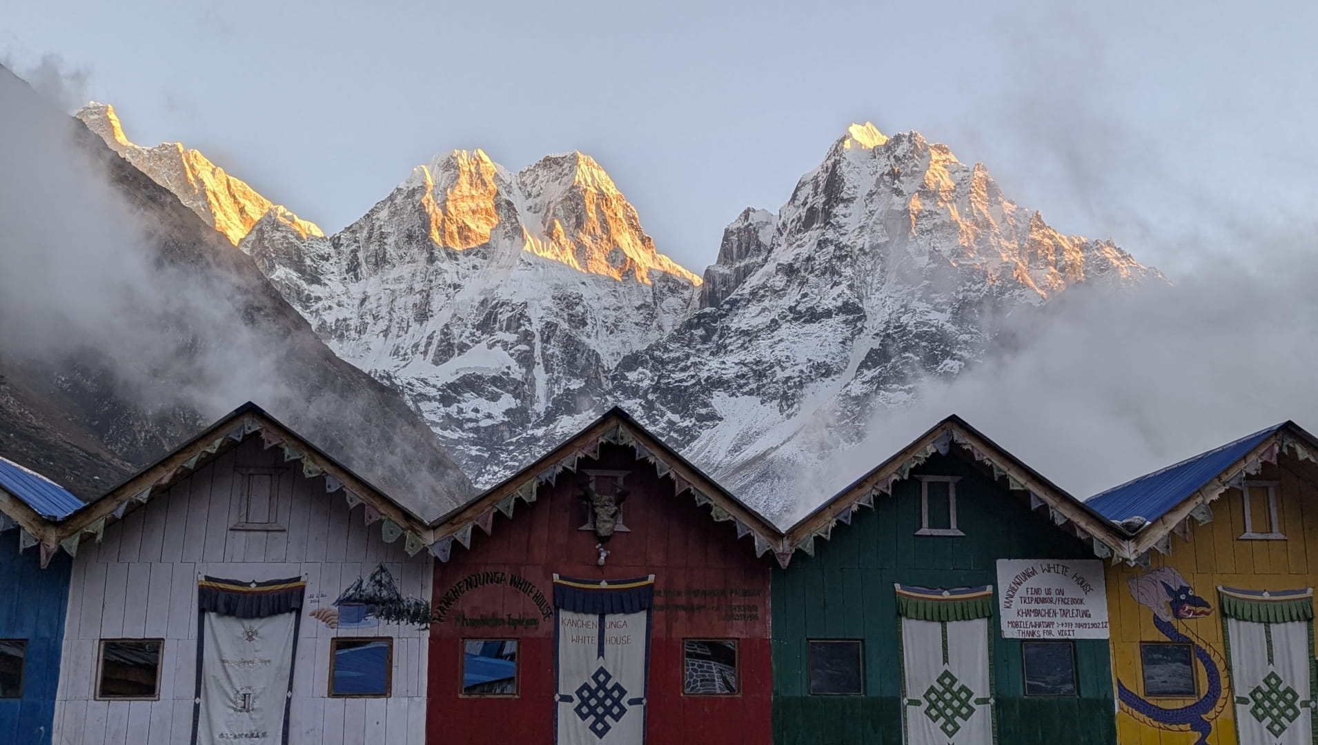
Kanchenjunga Region
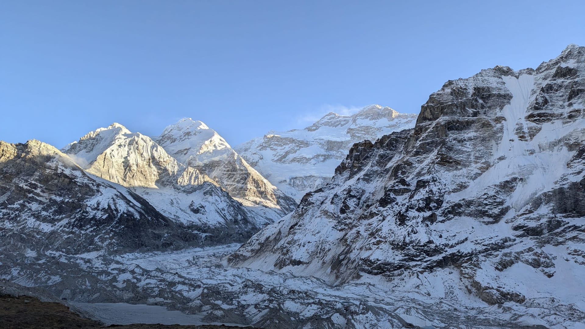
Nepal’s far eastern region, which borders Tibet to the north and Sikkim (India) to the south, is home to some of the most stunning and remote landscapes in the world. At the heart of this awe-inspiring area stands Kanchenjunga, the third highest mountain on Earth, rising to an impressive 8,586 meters (28,169 feet) above sea level. At the core of the region is the Kanchenjunga Glacier, spanning approximately 15km in length and feeding the major rivers of the region, Ghunsa and Tamor.
Kanchenjunga Region offers incredibly unique trekking opportunities with a fraction of the tourism seen in regions further west like Everest & Annapurna.
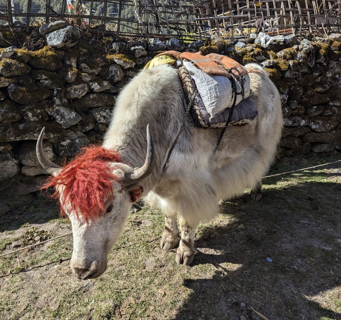
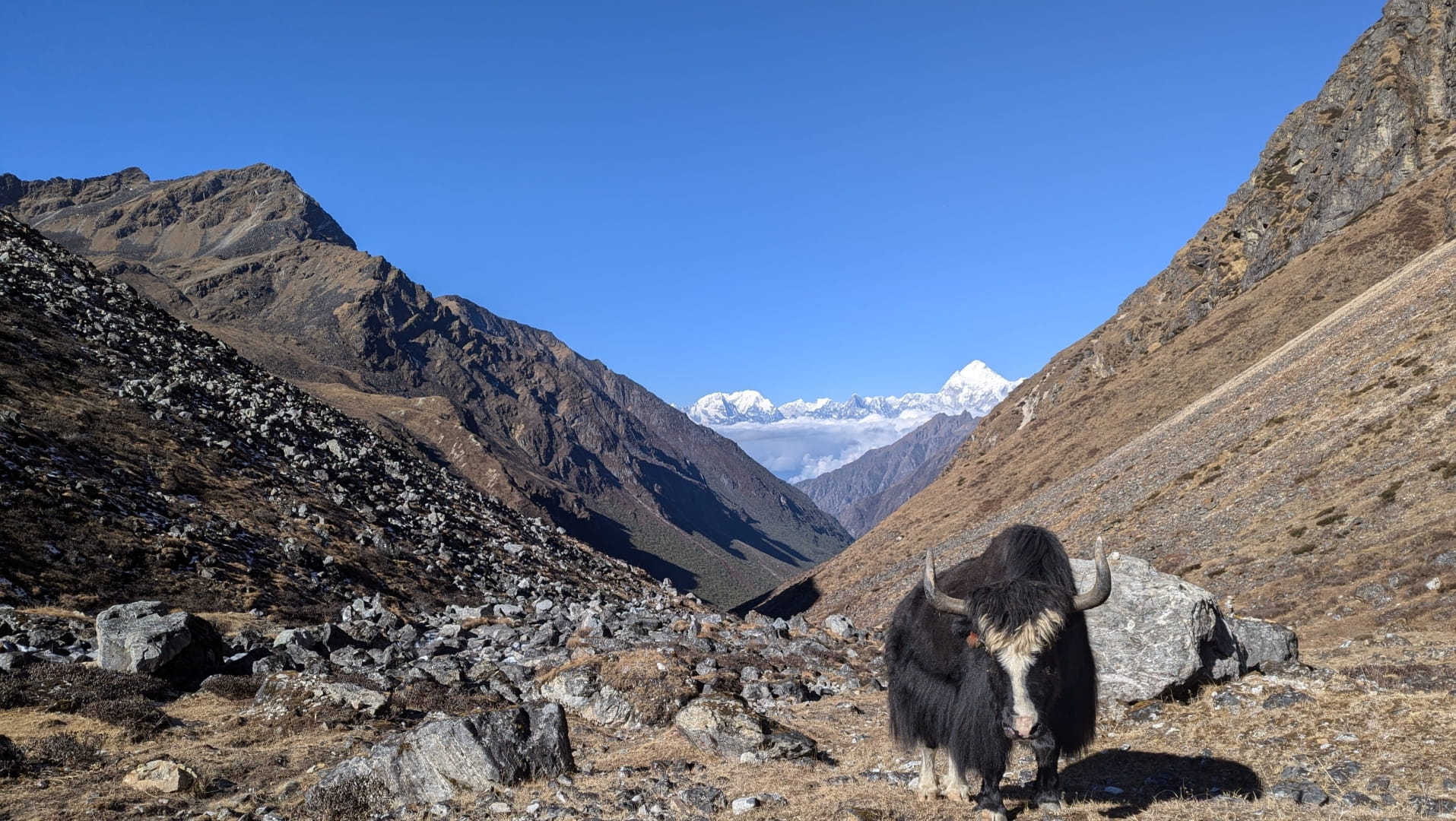
Stylish Yak in Olangchung Gola
View from Nango La Pass
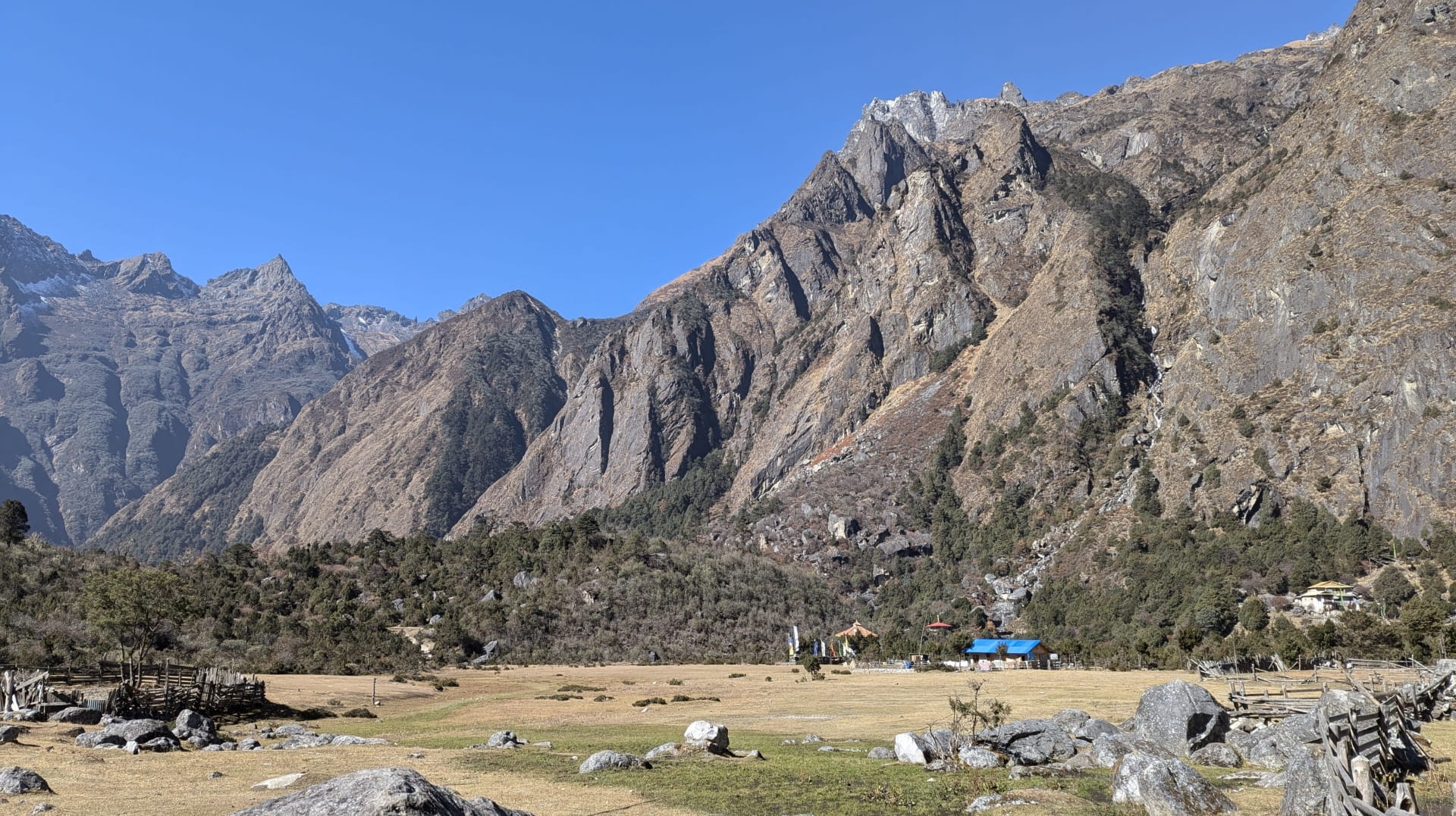
Fields surrounding Ghunsa Village
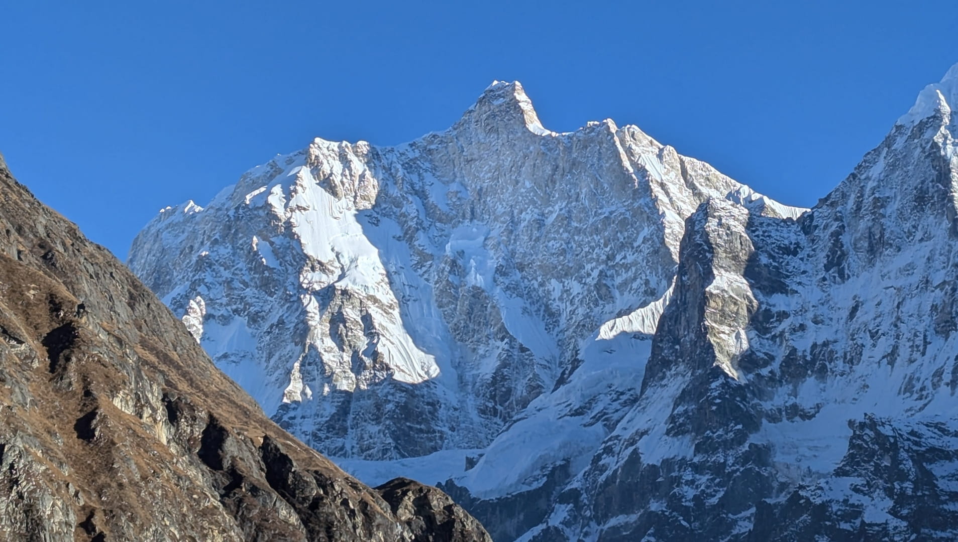
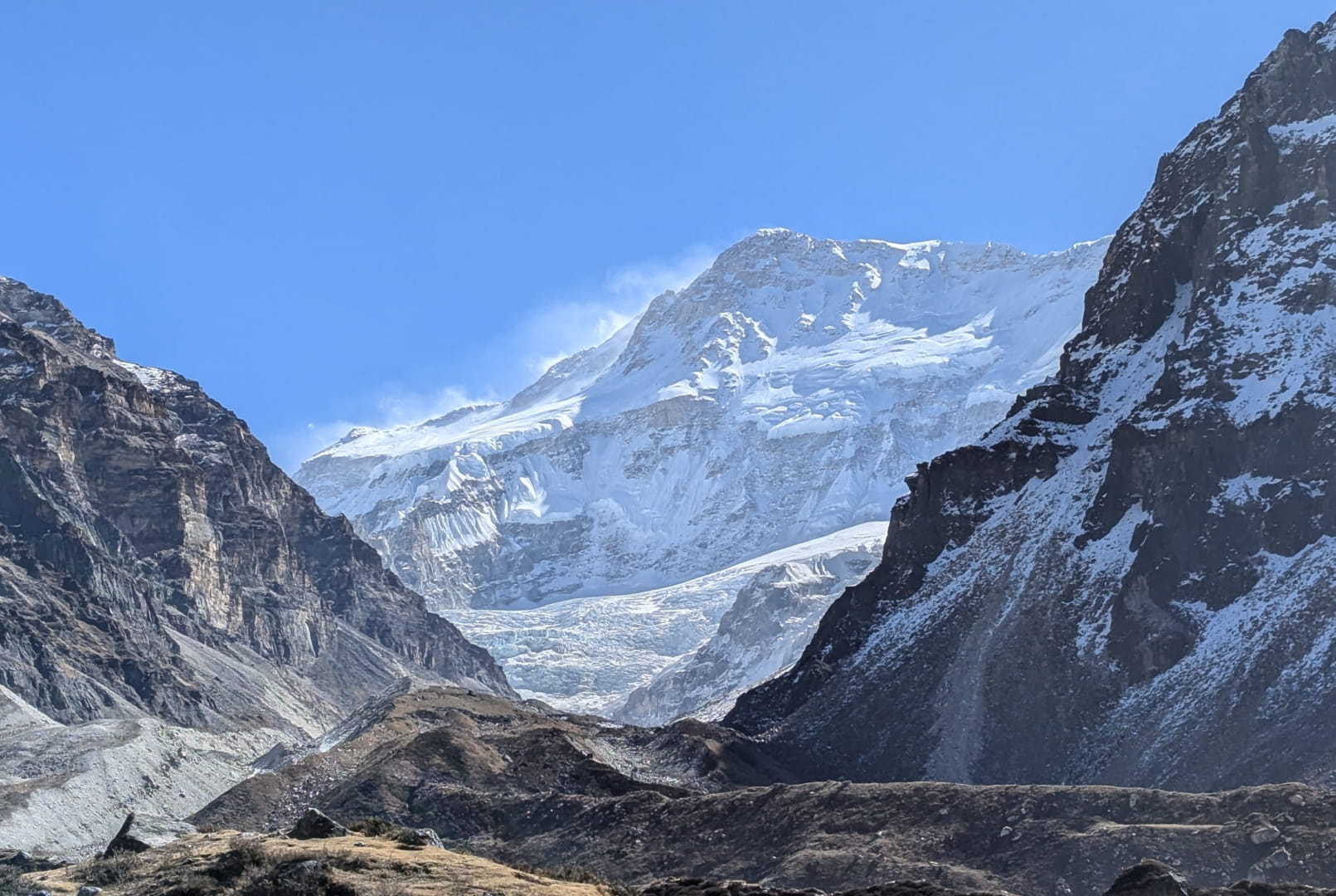
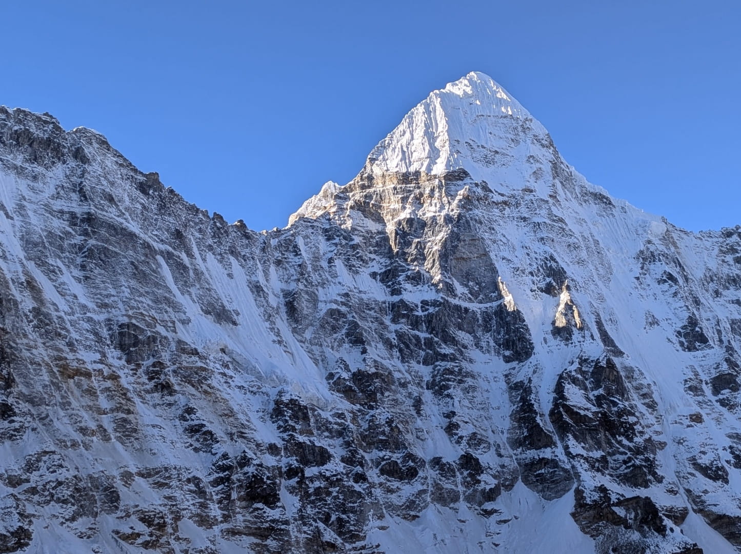
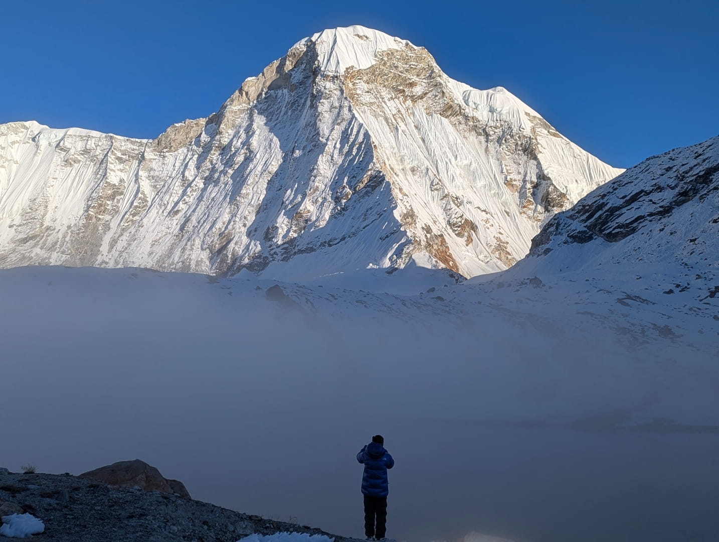
Jannu Peak
Jannu seen from Kangbochen Village
Looking towards Pangpema
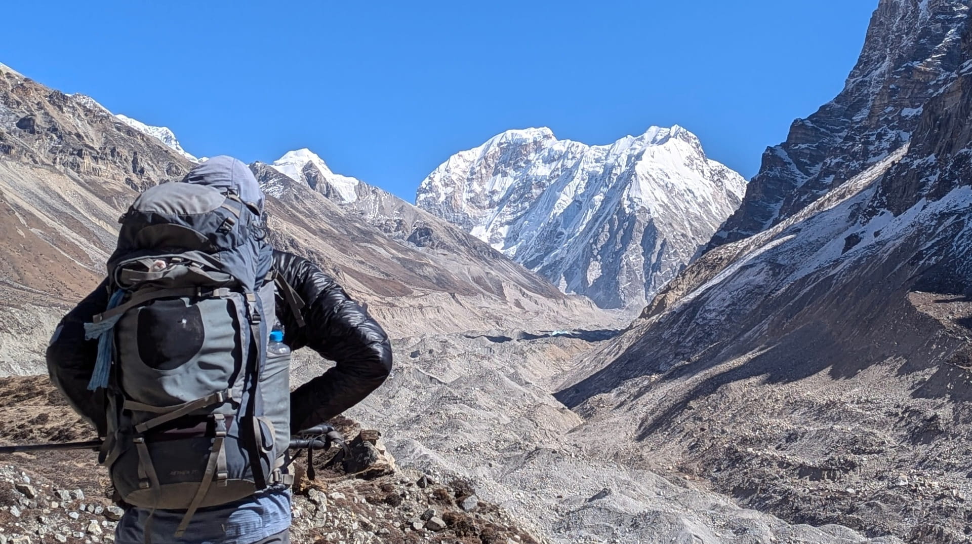
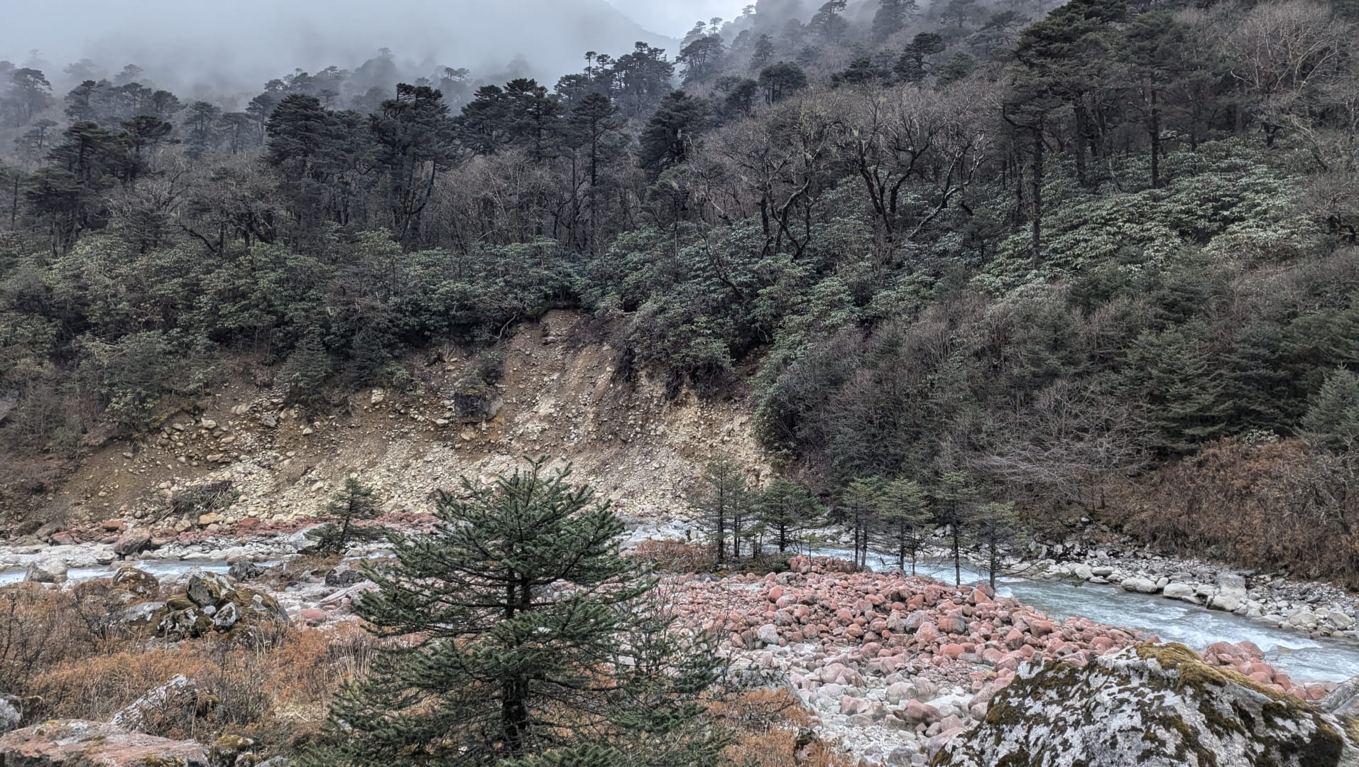
The Kanchenjunga Glacier
Kanchenjunga Glacier
Aerial view of Kanchenjunga Glacier
View from Pangpema (North BC)
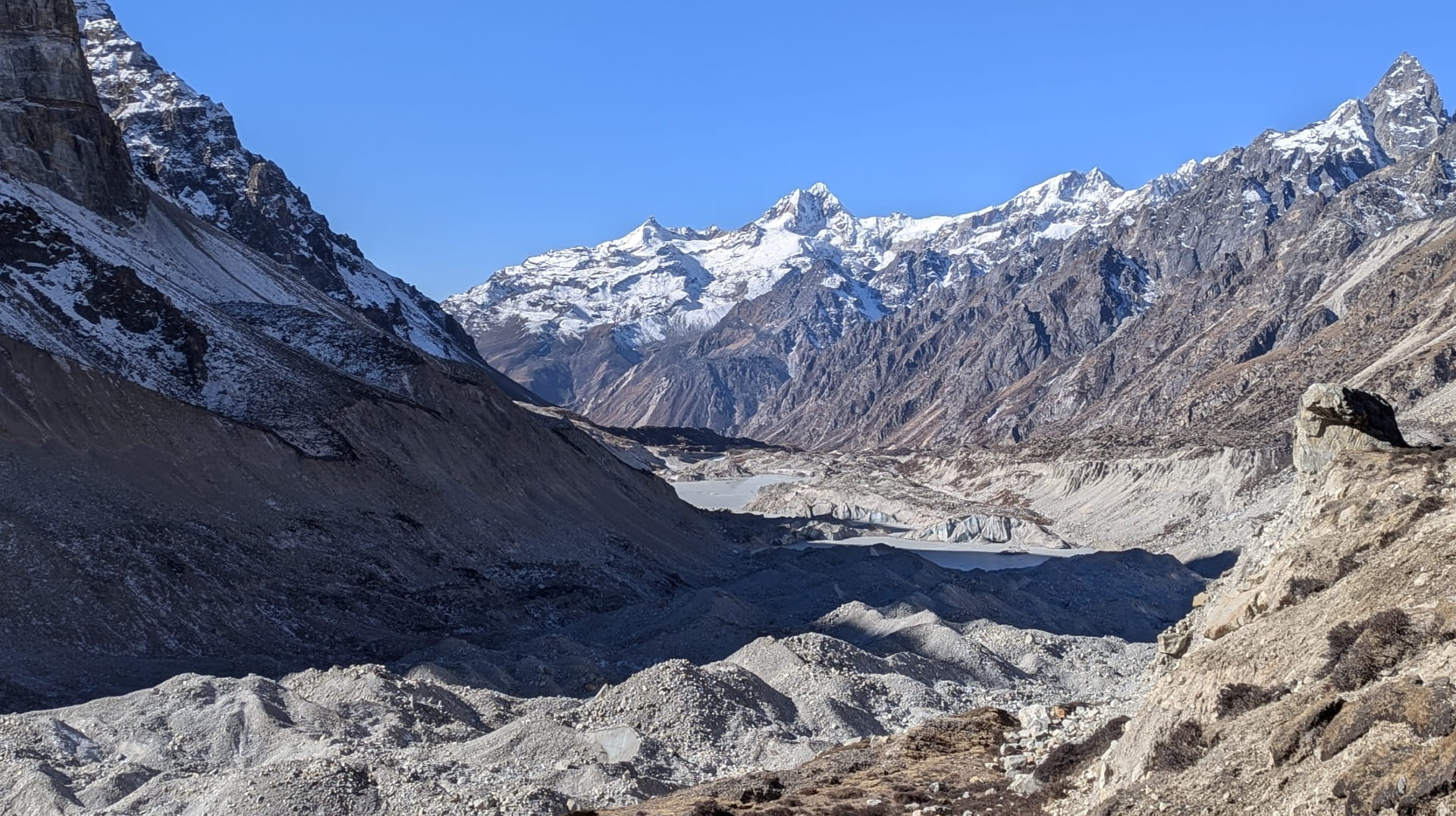
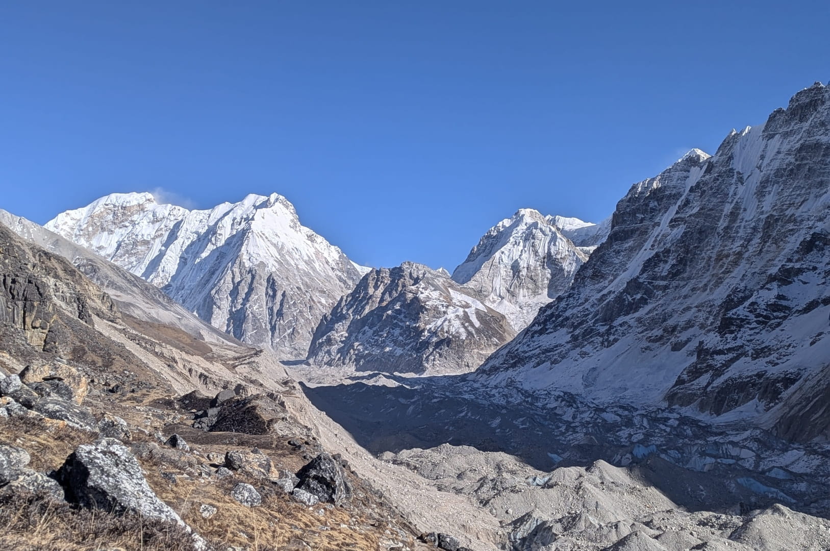
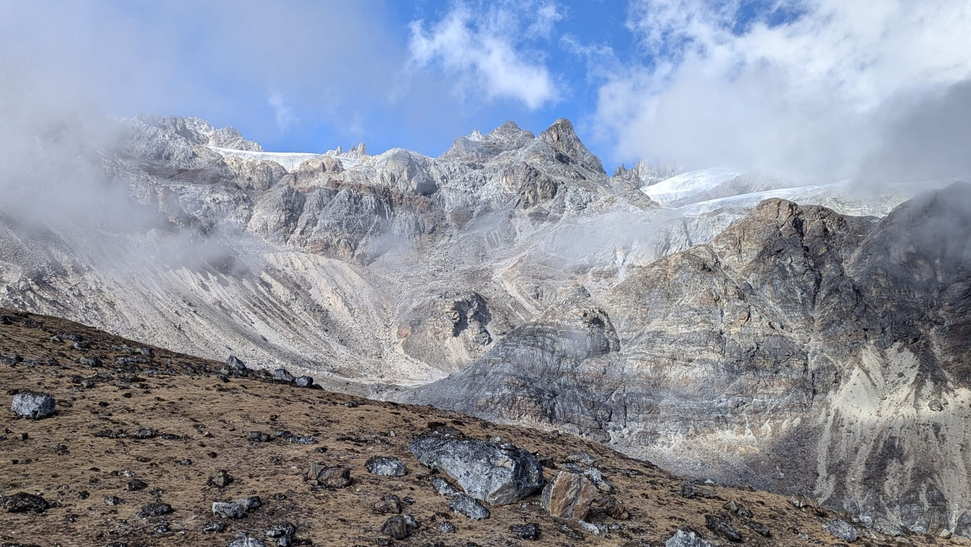
Kanchenjunga Moraine Covered Glacier
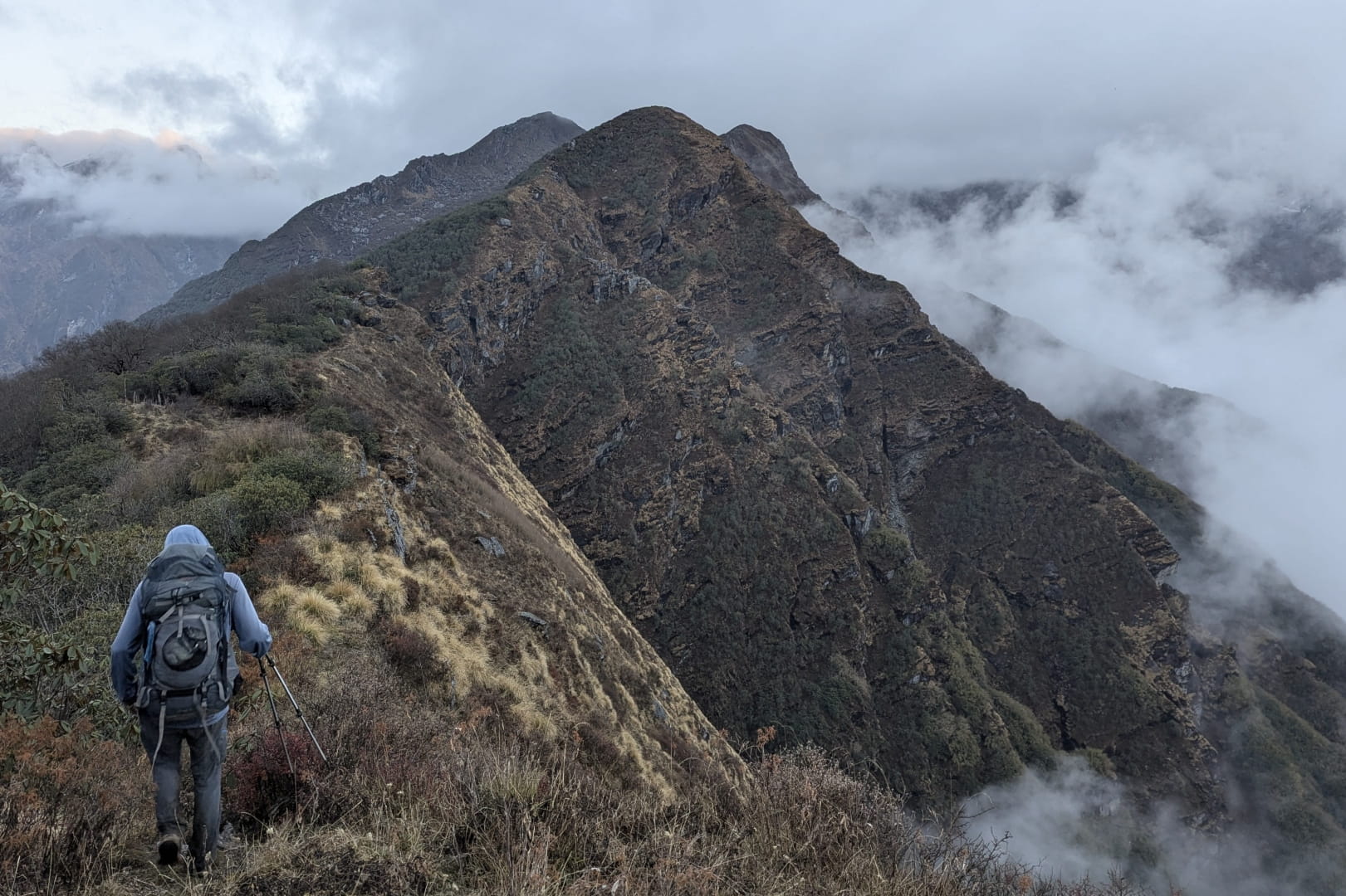
On an unnamed ridge before Kanchenjunga Region
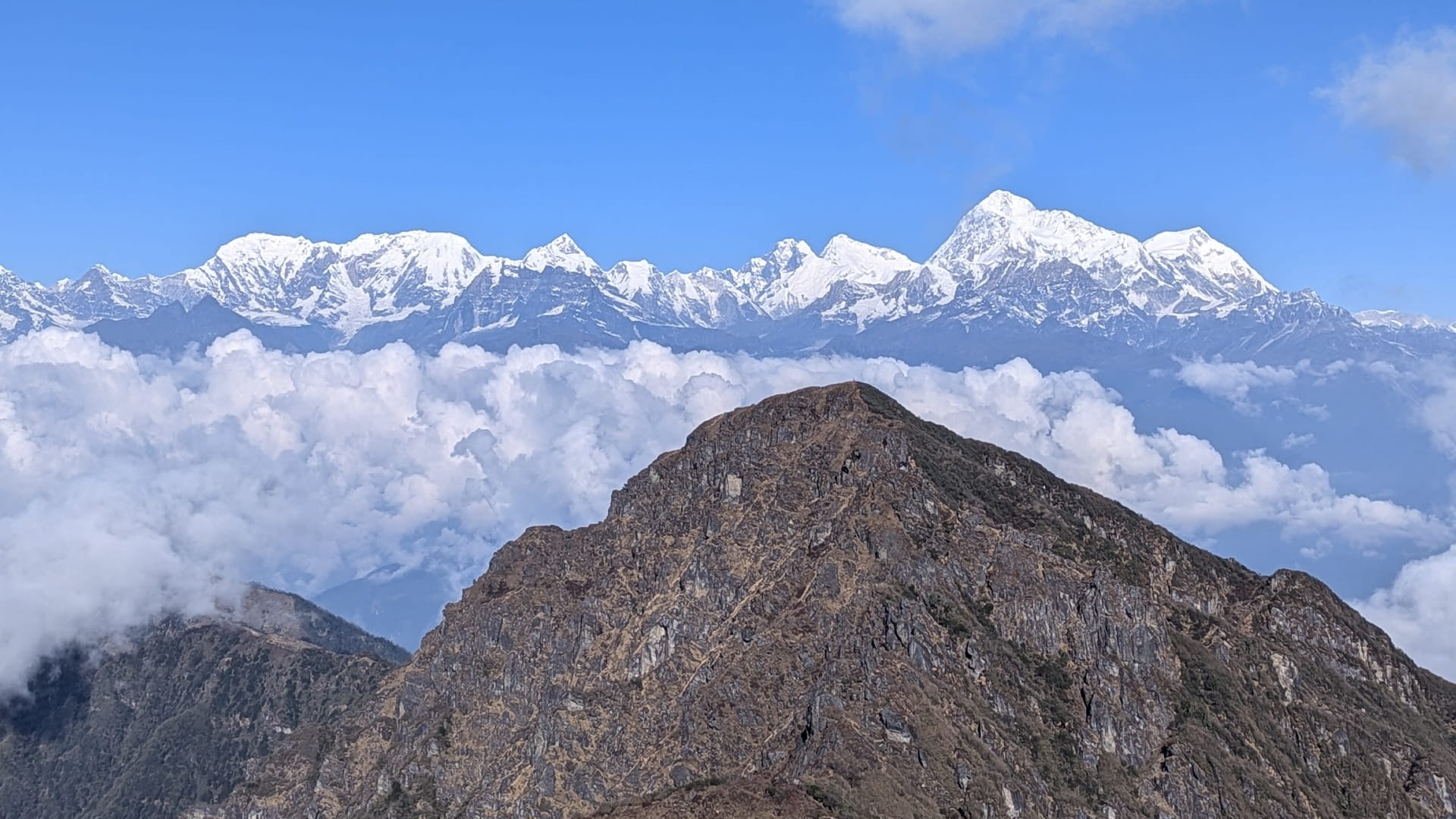
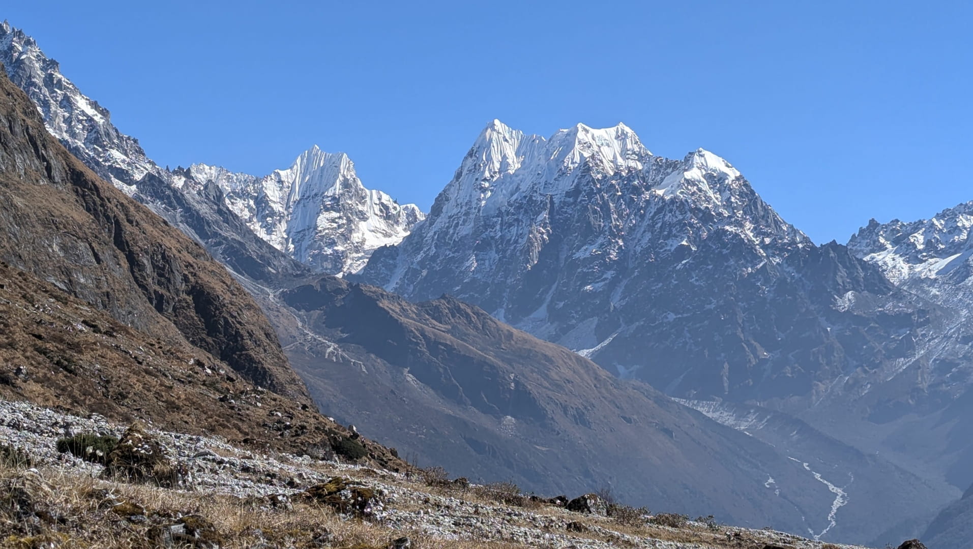
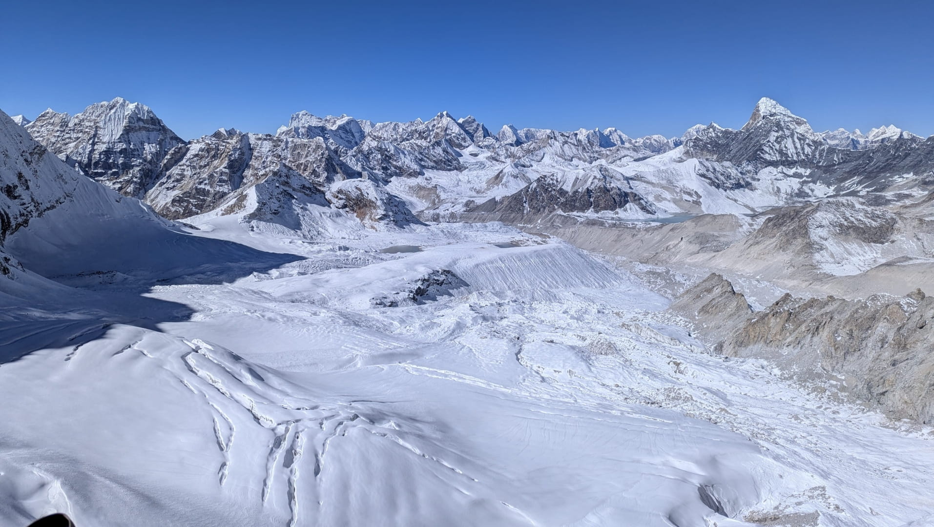
Main ridge of the Khumbu Region (Everest, Makalu Visible)
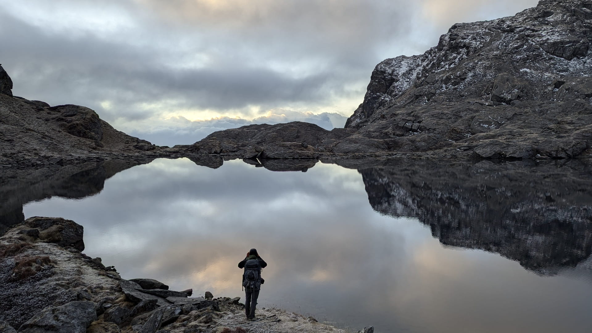
A random lake we passed
Hiking towards Lumba Sumpa Pass
View from Lumba Sumpa Pass
Rhododendron forests

Rice terraces in Mangsima Village
Rolwaling Valley
Situated between the popular Langtang and Everest regions, the Rolwaling Valley is steeped in folklore and rugged beauty. Known locally as "The Grave" due to its steep, sheer cliff walls that shadow the valley floor, it is famously the rumored home of the Yeti. The trail here is arduous and raw, appealing to the true adventurer.
Dominating the skyline is the sacred mountain Gauri Shankar (7,134m), while the high glacial lake of Tsho Rolpa creates a dramatic contrast of turquoise blue against the grey moraine. The crossing of the Tashi Lapcha Pass connects this mystical valley to the Khumbu, offering one of the most technical trekking passes in the Himalayas.
Looking down to Kalinchowk Town
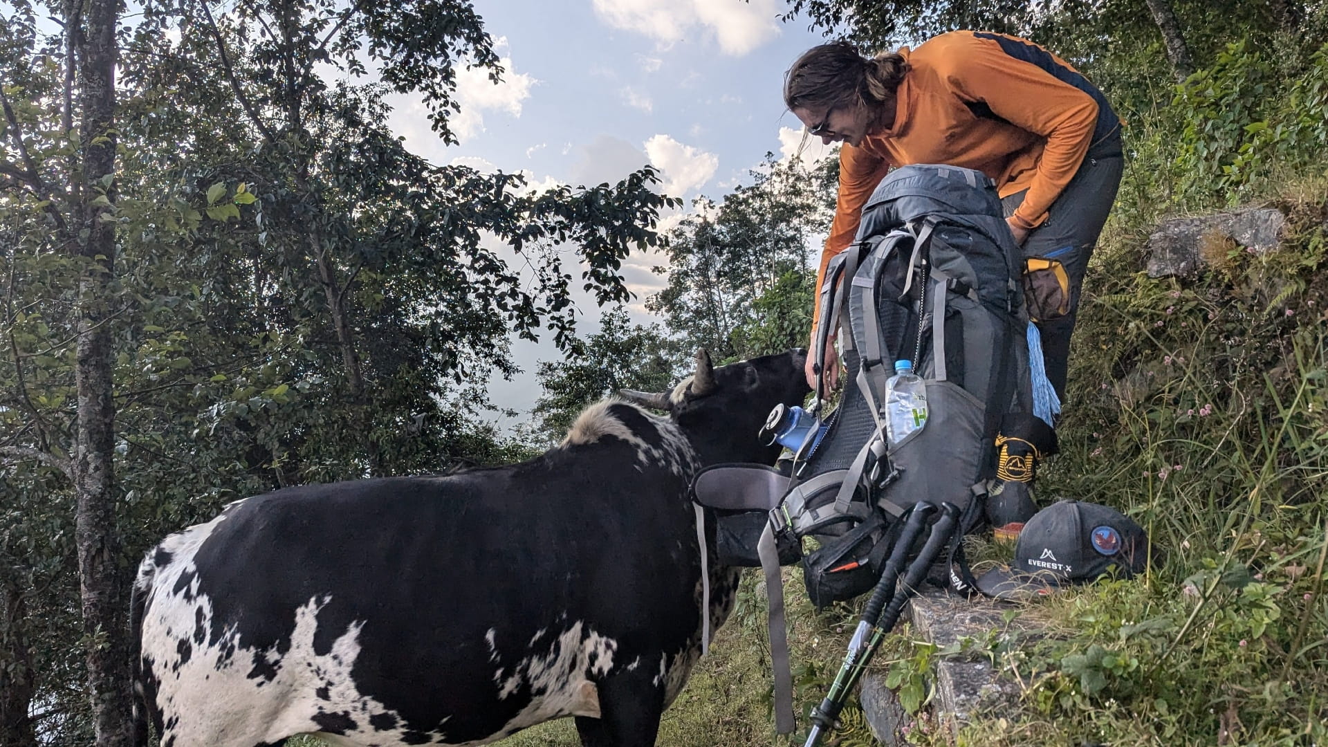
Rare sight of Ian liking cows
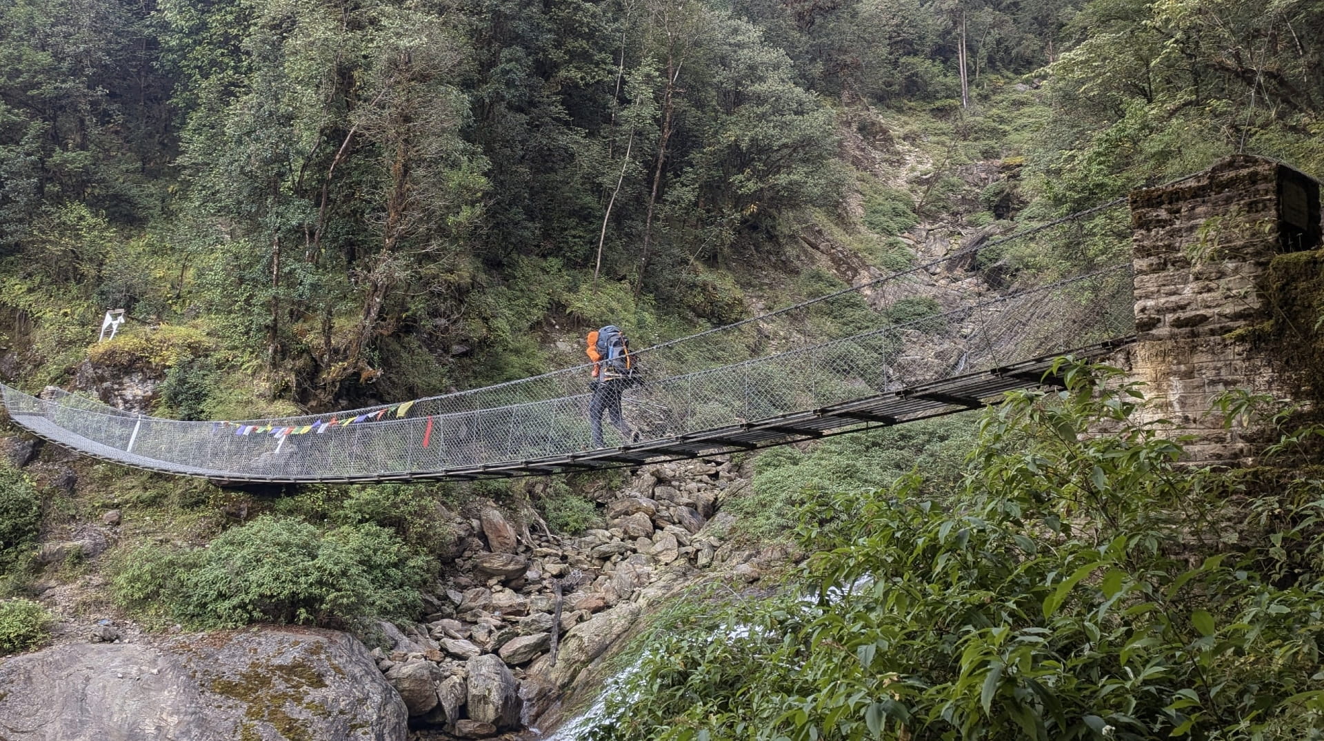
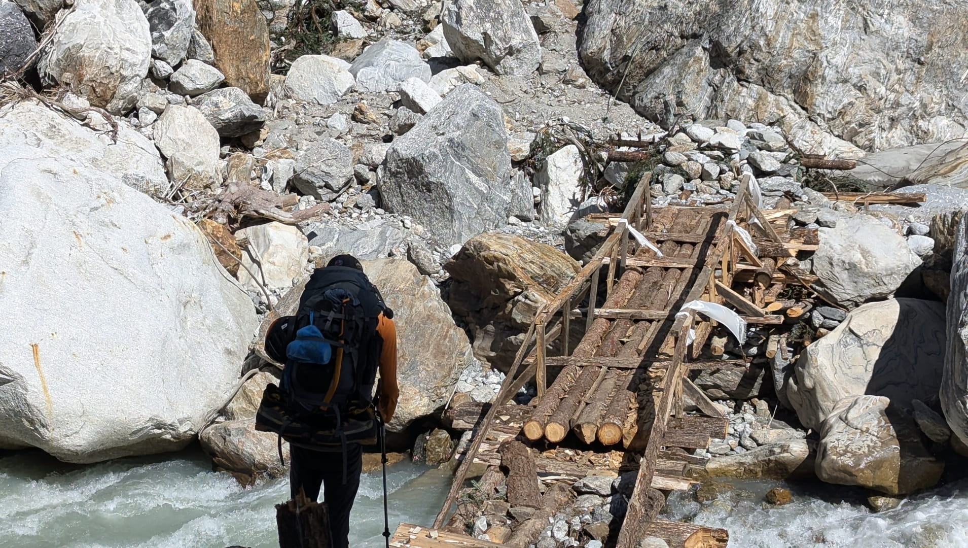
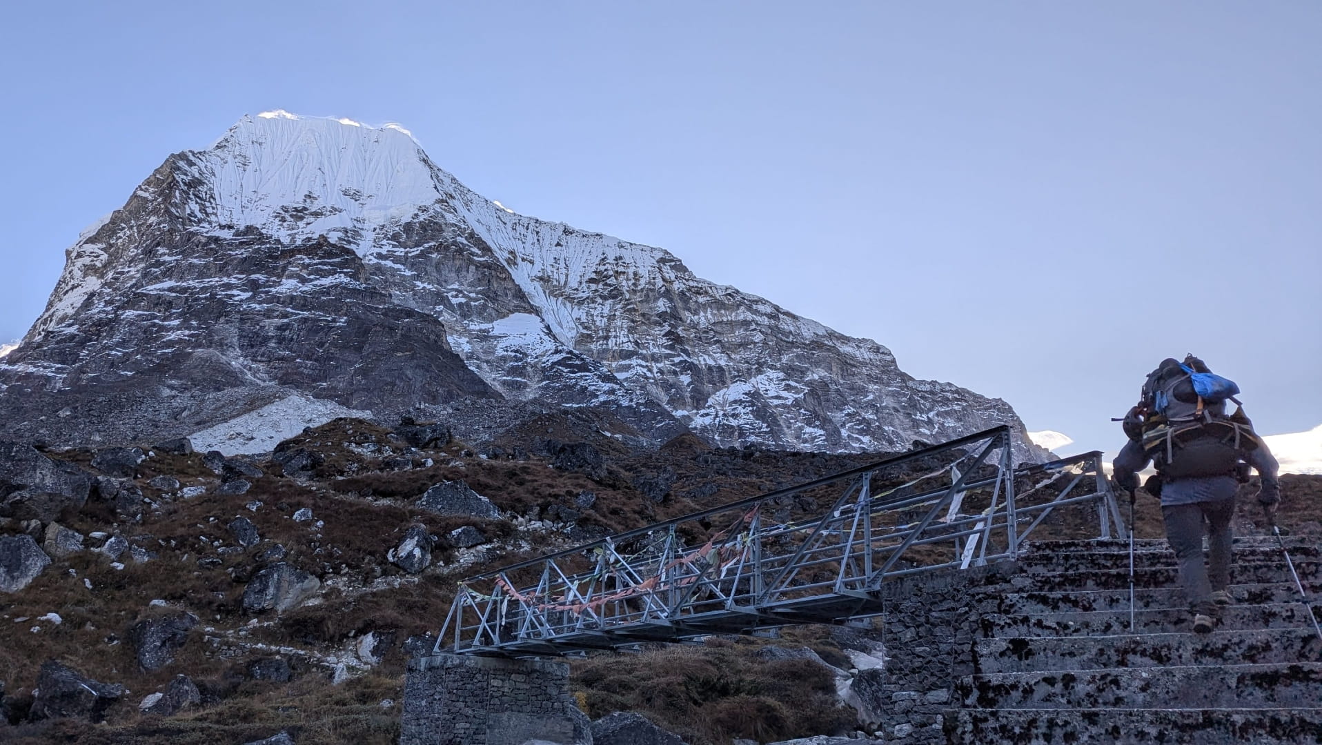
Bridge Crossing in Gaura-Shankar
Beding Village, Rolwaling Valley
Sherpas in The Rolwaling Valley
Heading towards Tsho-Rolpo Lake
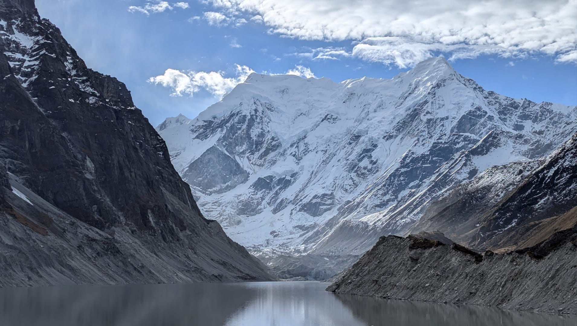
Tsho-Rolpo Lake

Hiking towards Tashi-Lapcha Pass
Hiking towards Tashi-Lapcha Pass
On top of Tashi-Lapcha Pass
Everest Region
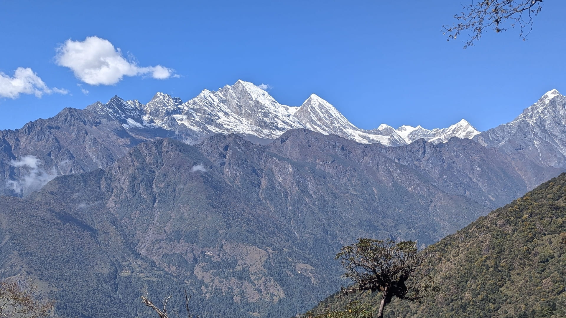
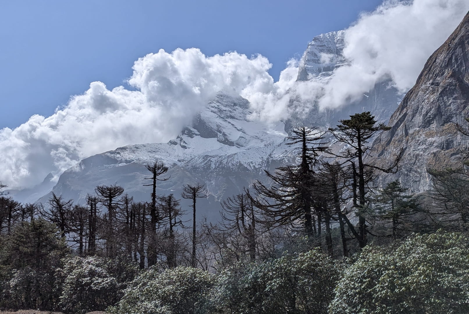
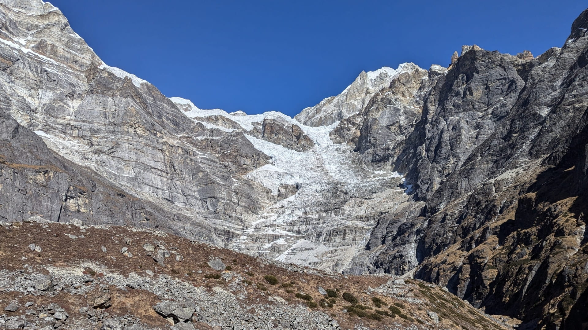
The Everest (Khumbu) region is one of the most iconic areas in the Greater Himalaya, home to three 8,000-metre peaks: Mount Everest (8,848 m), Lhotse (8,516 m), and Cho Oyu (8,188 m). Attracting climbers and trekkers from around the world, the region plays a major role in Nepal’s tourism economy. While popular routes can feel crowded, venturing onto lesser-known trails offers a far more peaceful experience, with some of the most dramatic close-up views of the Himalaya’s highest peaks.
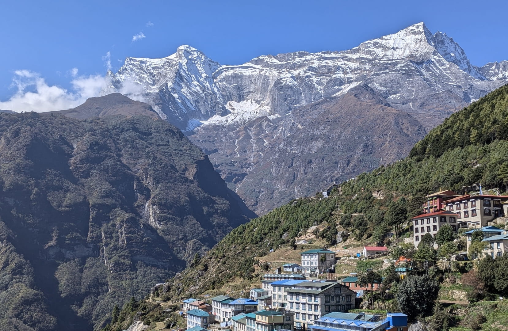
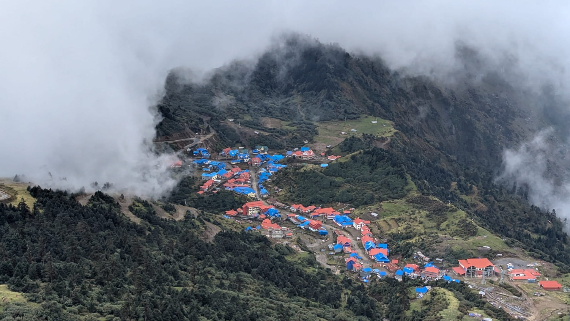
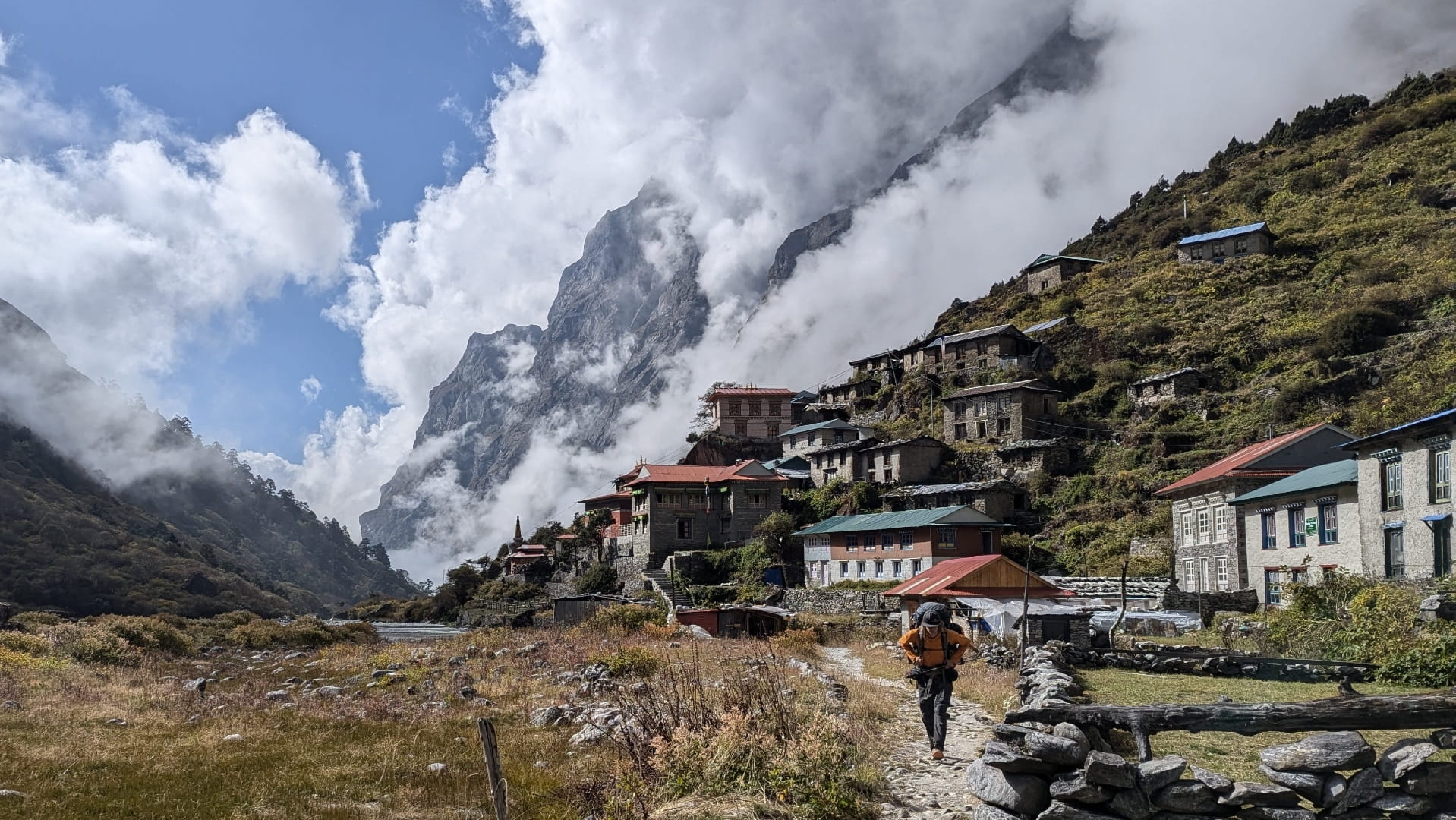
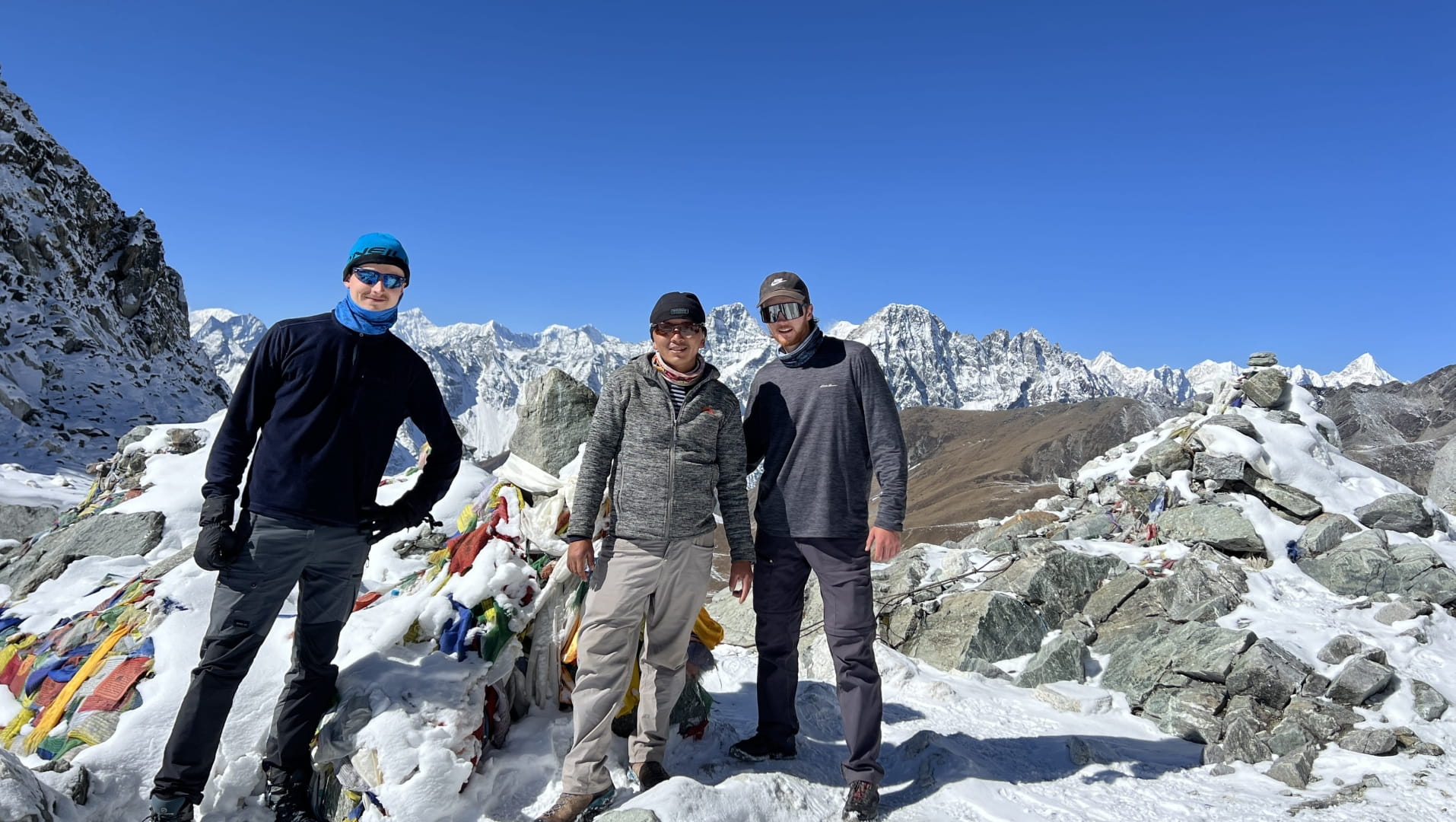
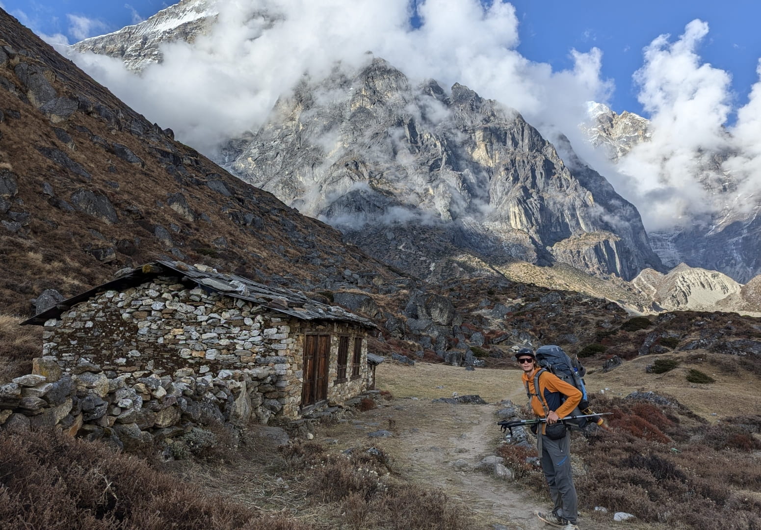
Namche Bazaar
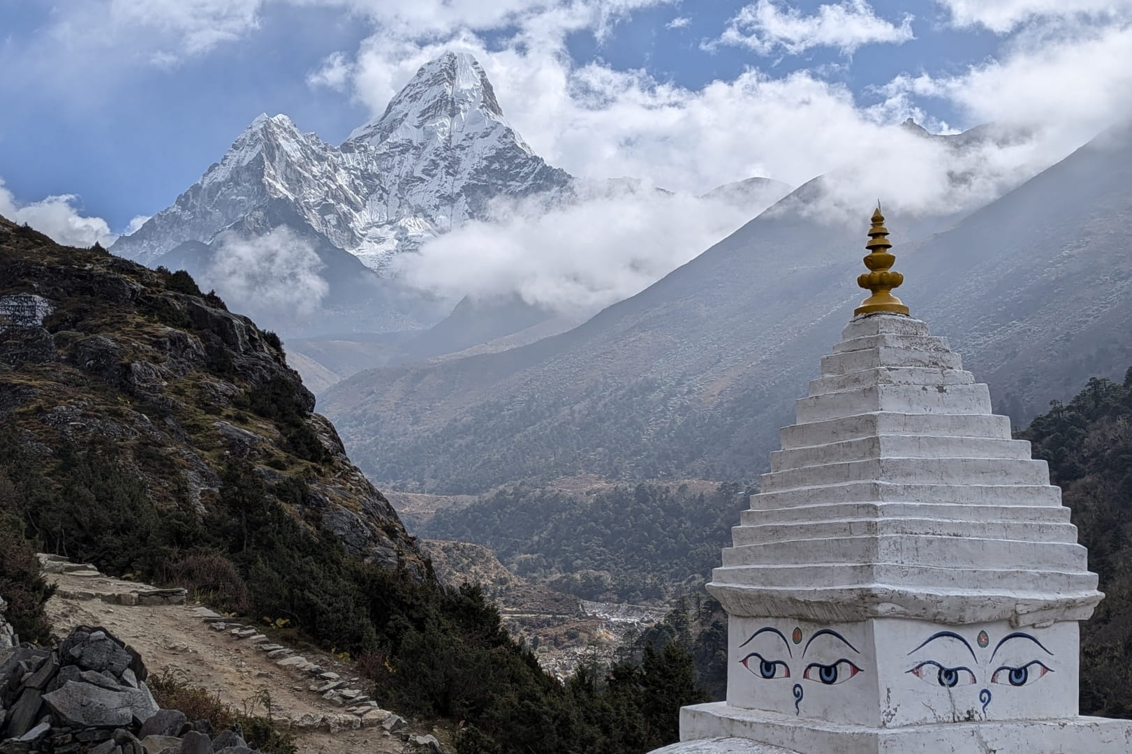
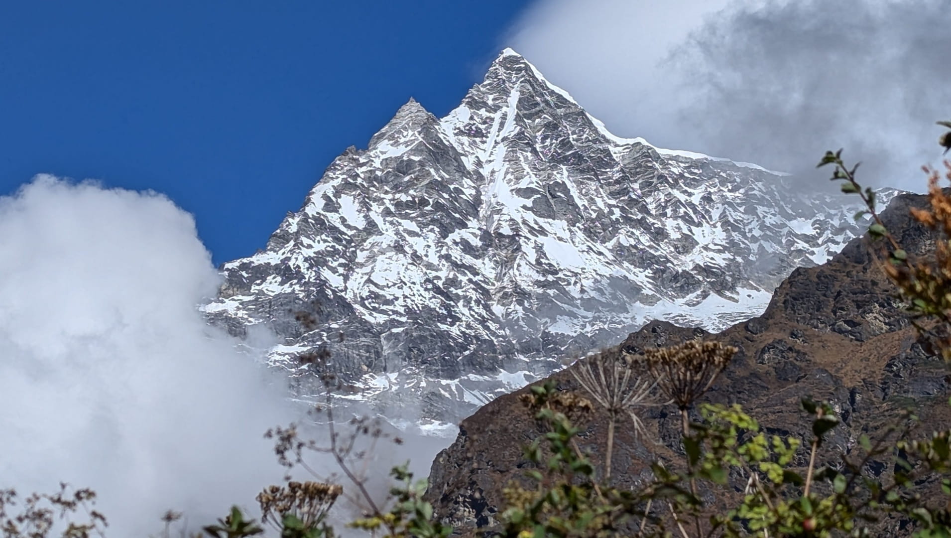
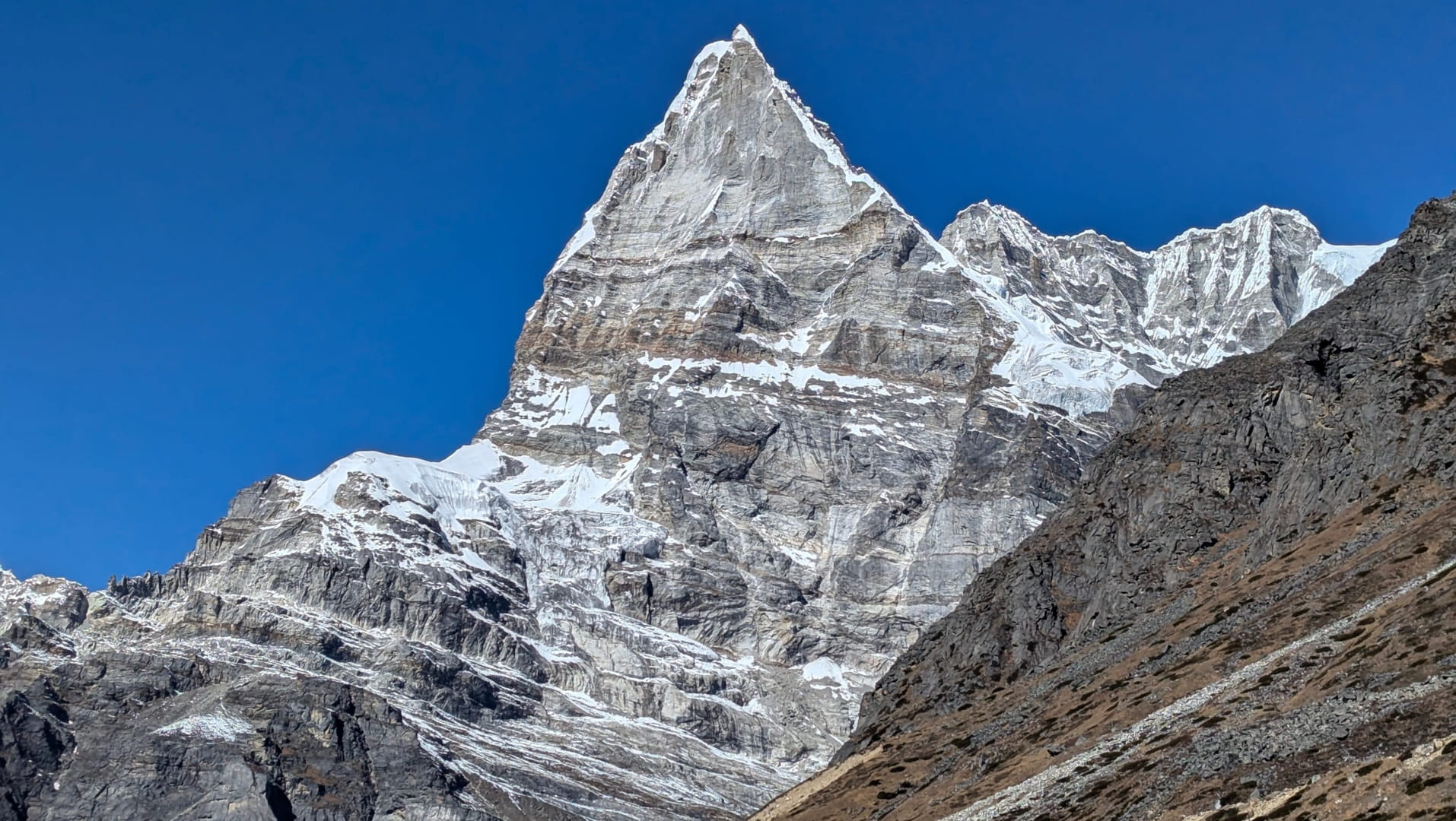
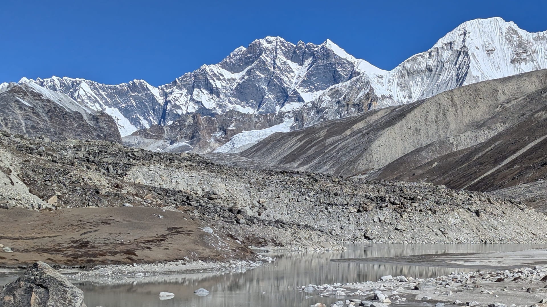
Ama Dablam seen from Tengboche
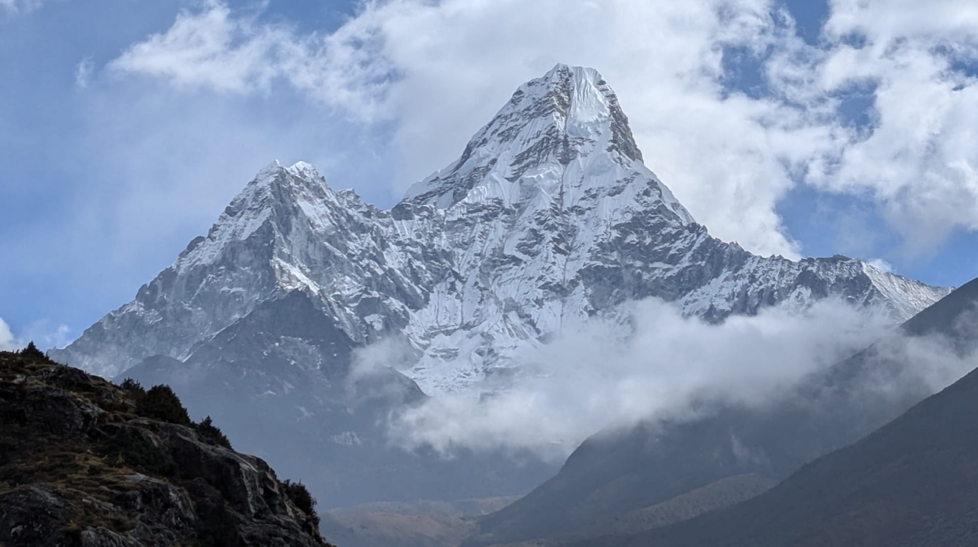
Ama Dablam
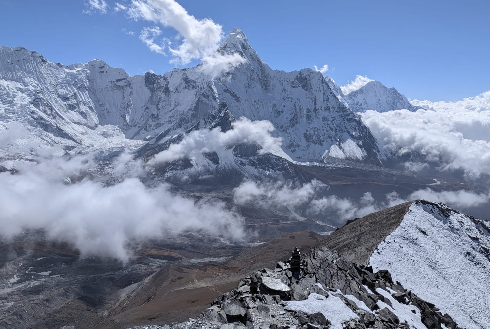
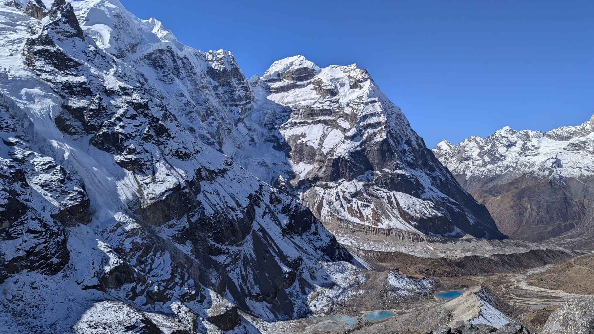
View from Chukhung Ri
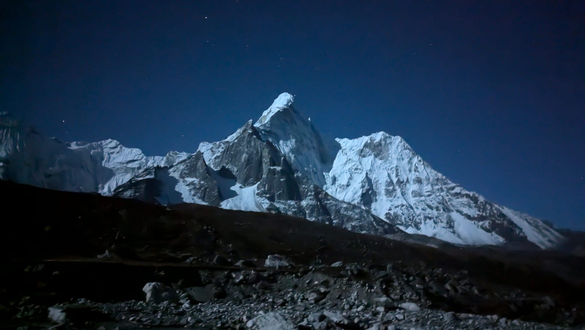
Night shot of Ama Dablam
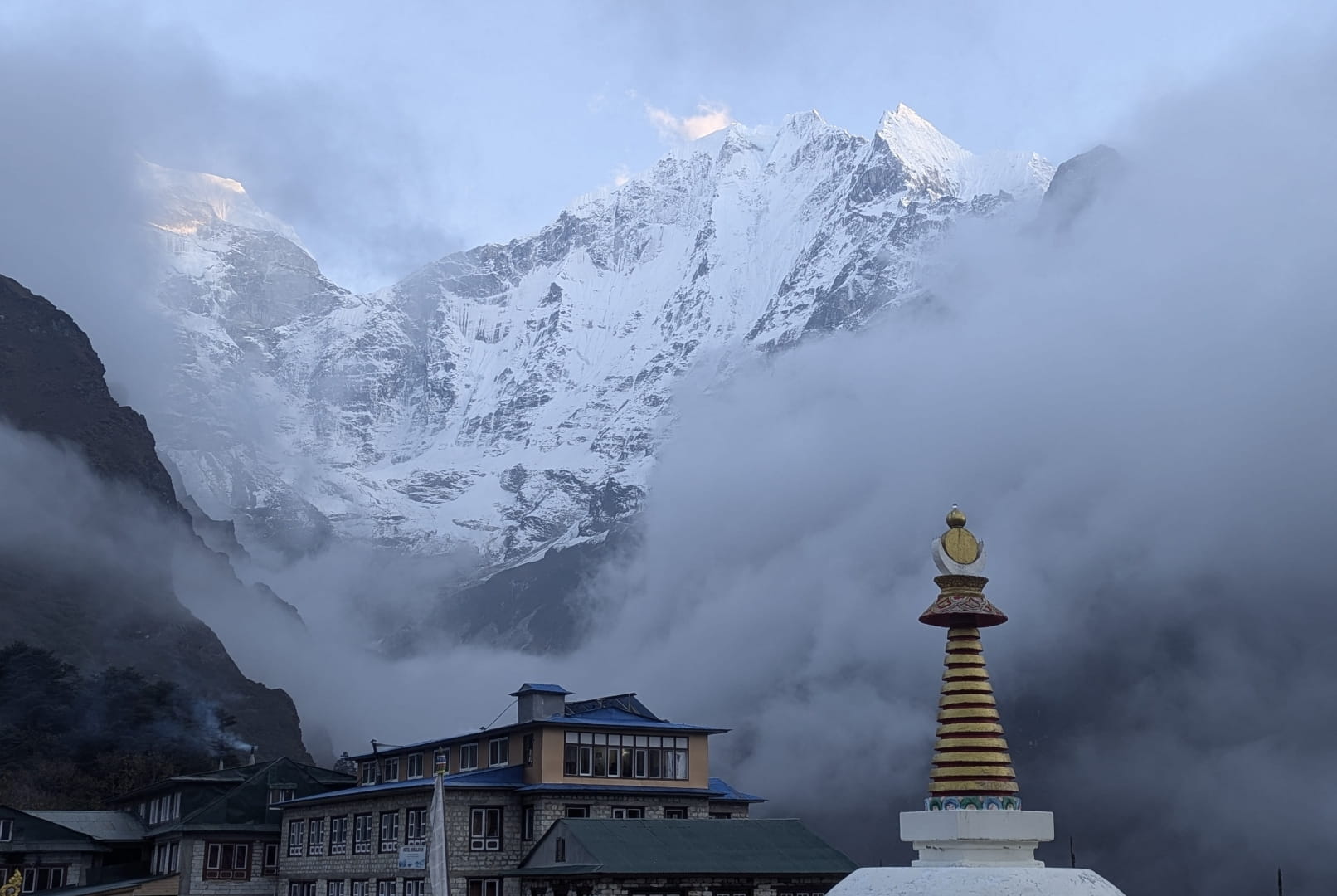
Views from Tengboche Monastery
Summit of Kongma La Pass
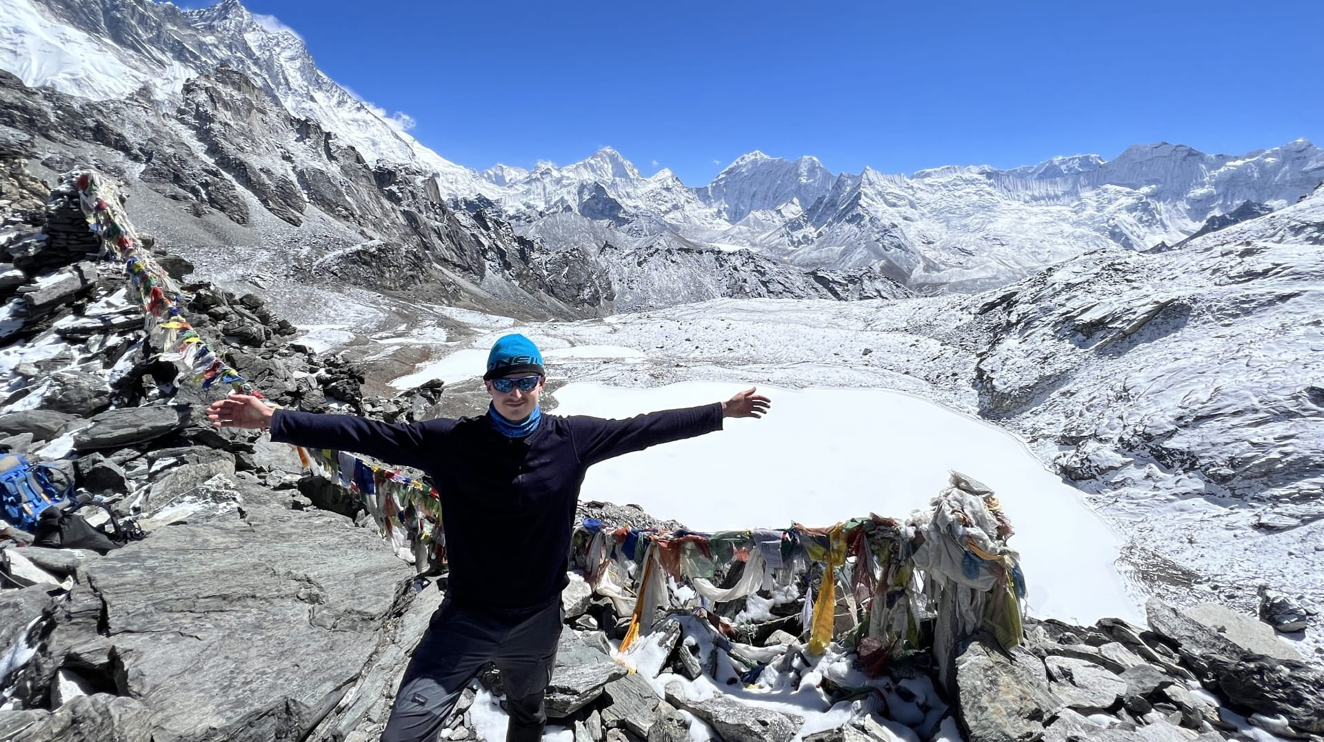
Cho La Pass
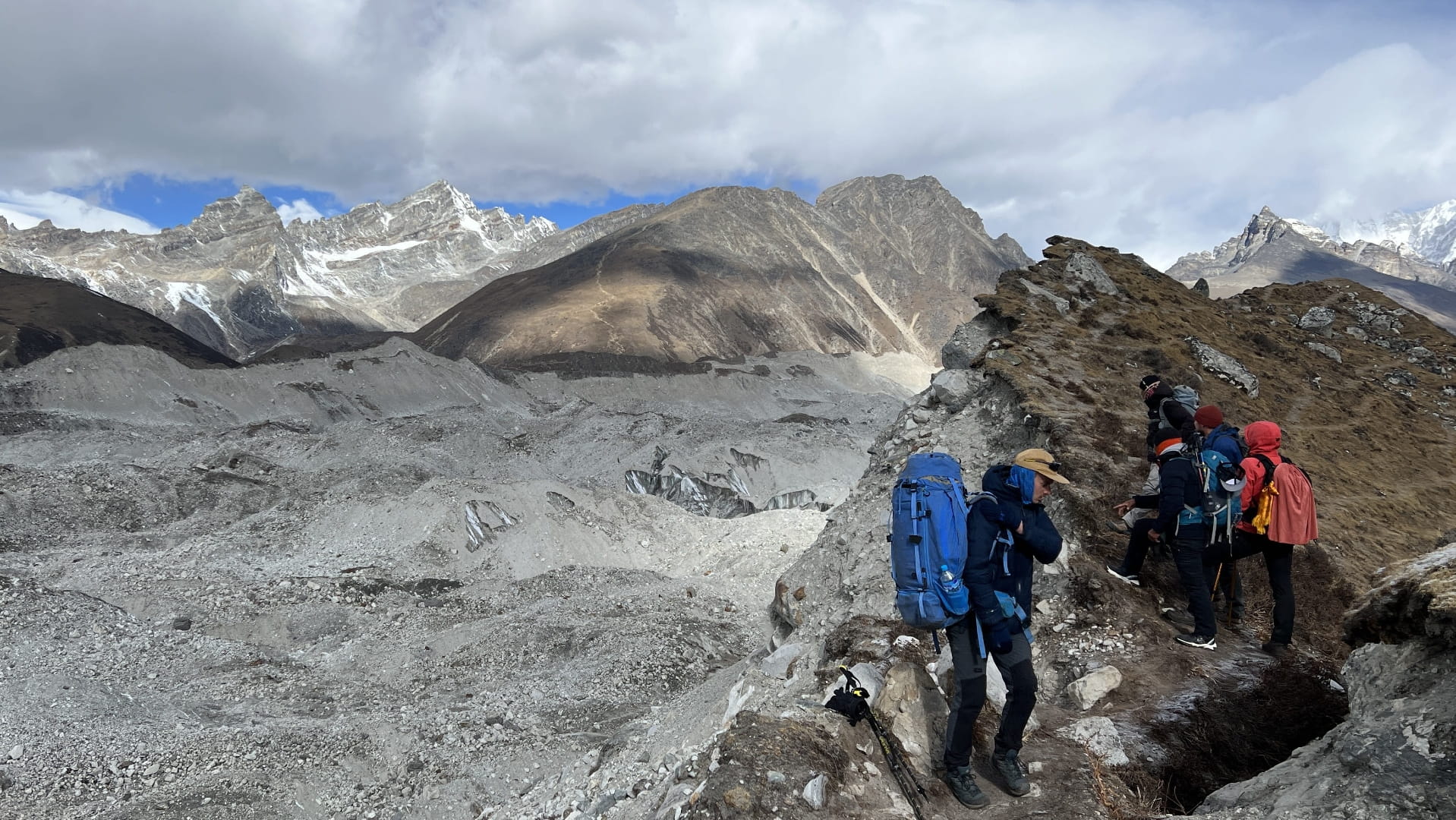
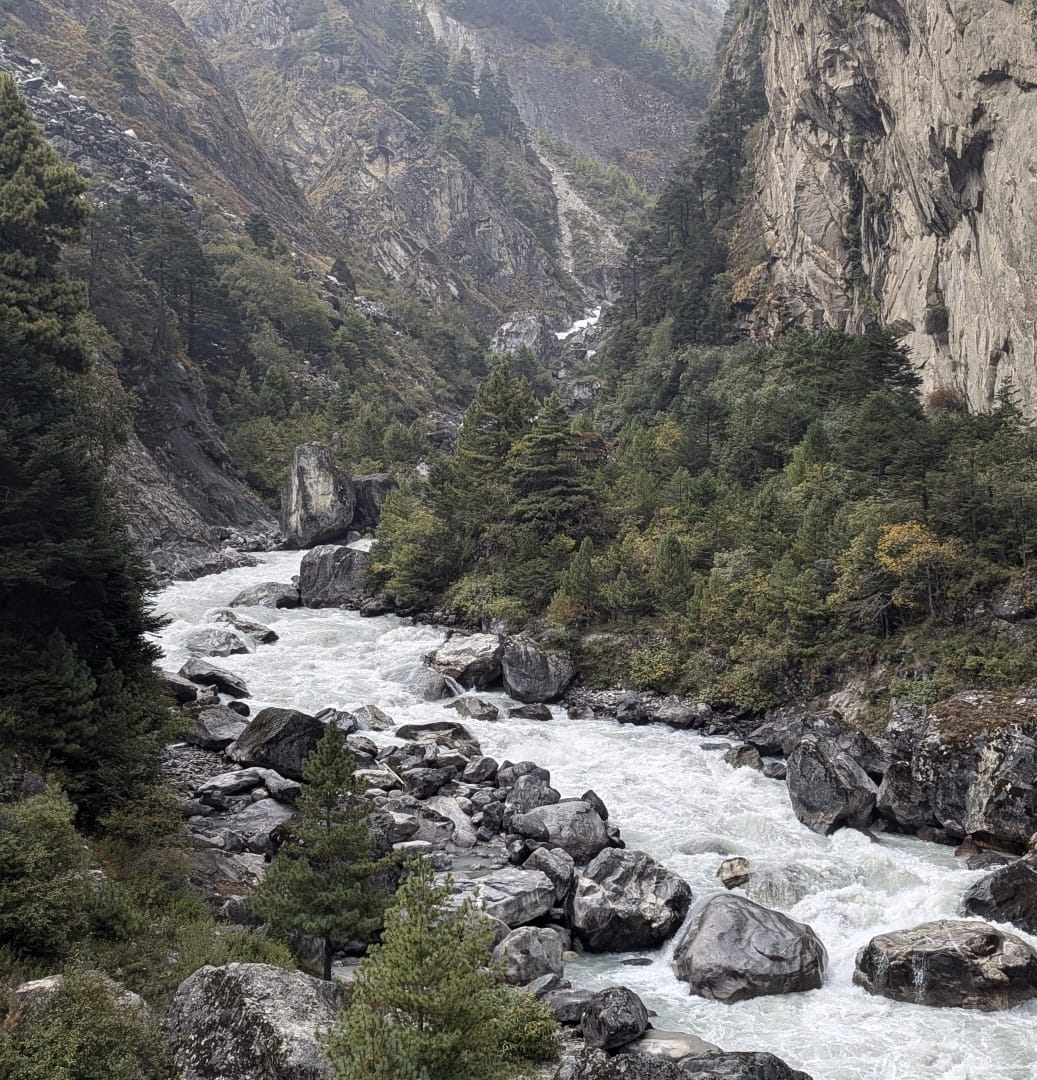
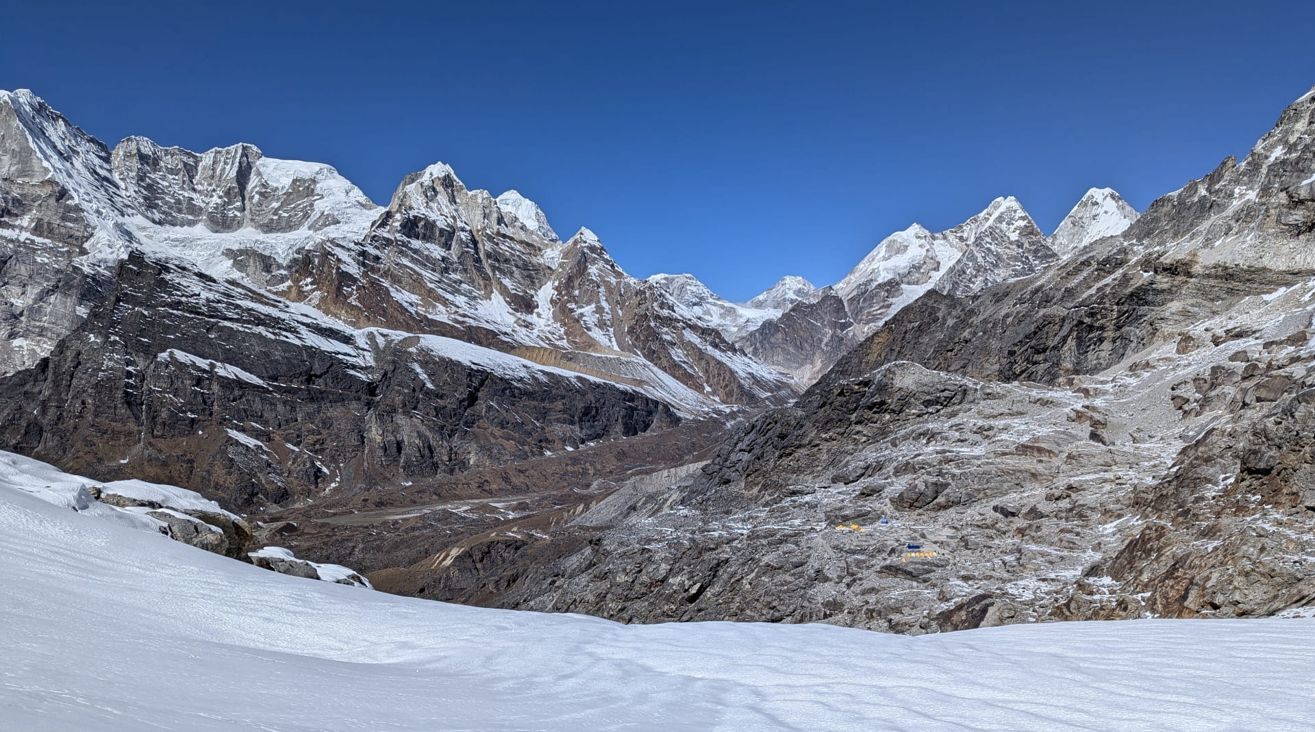
Crossing the Khumbu Glacier (Moraine Covered)
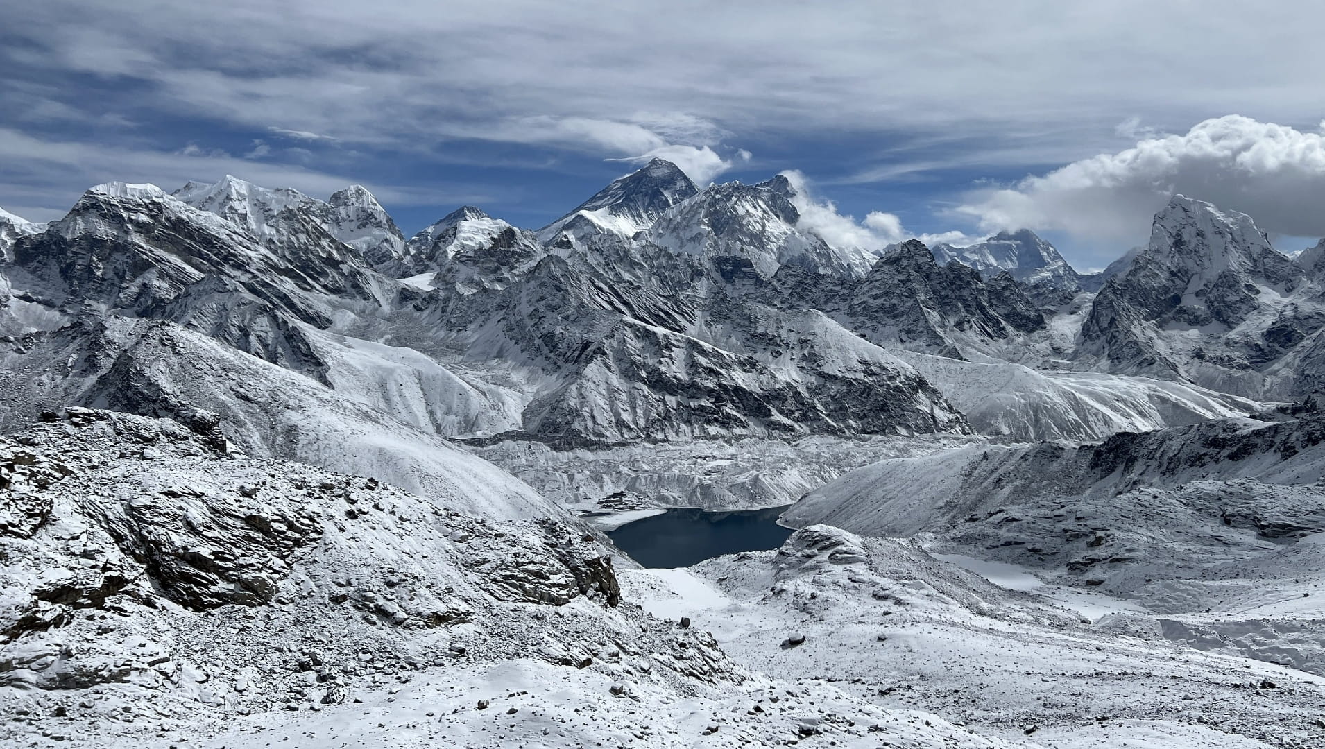
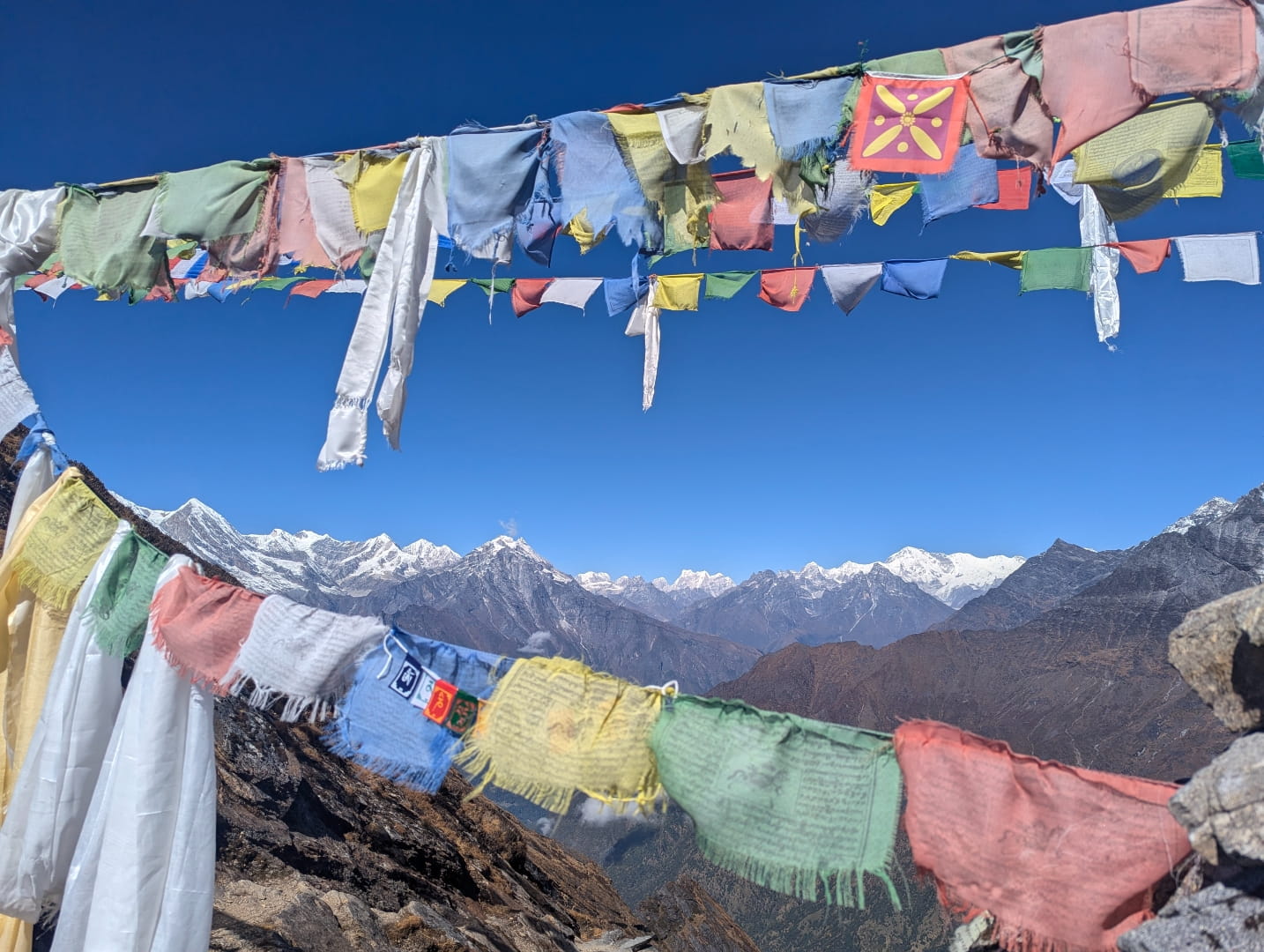
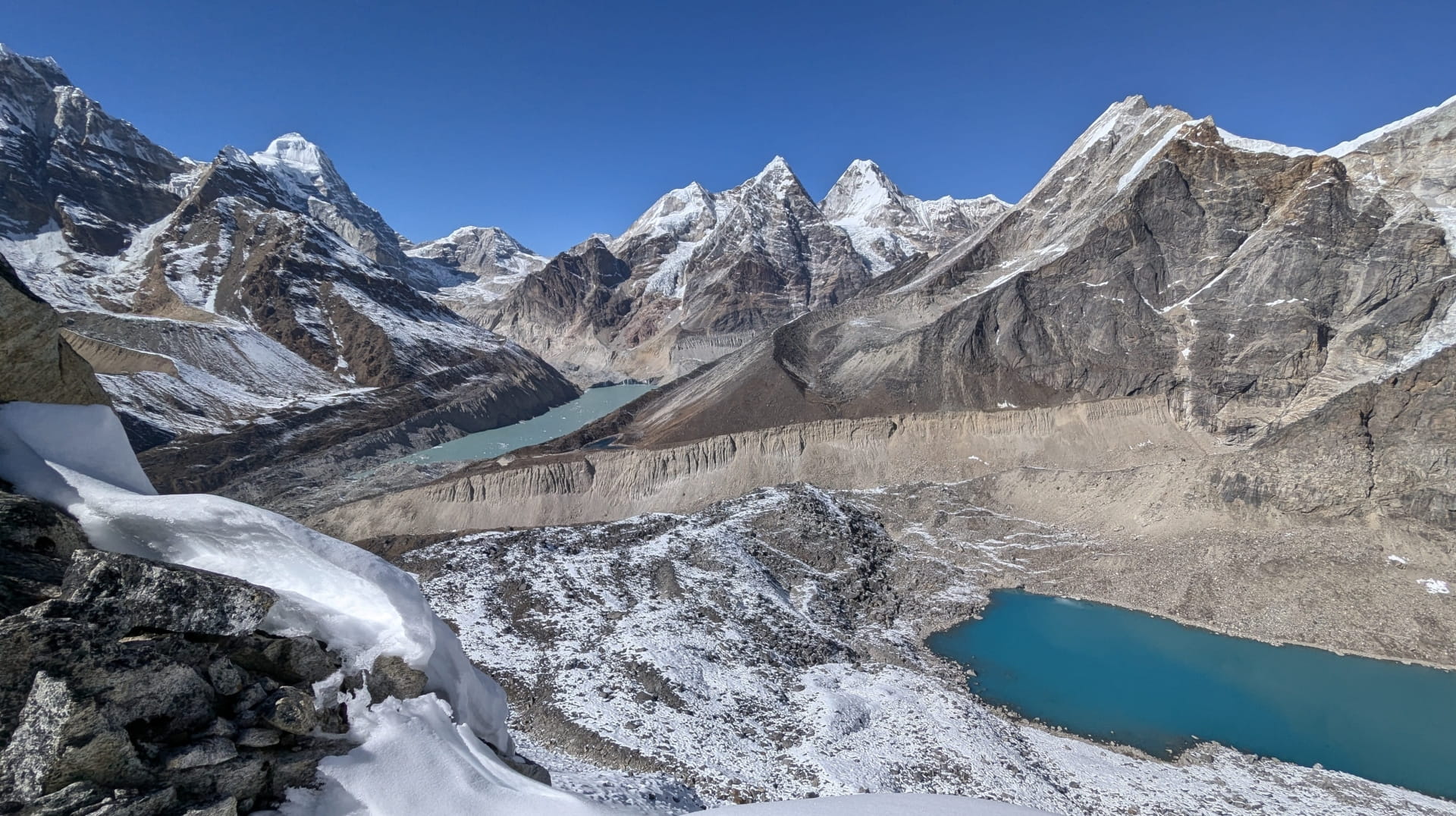
Panorama from Renjo La Pass
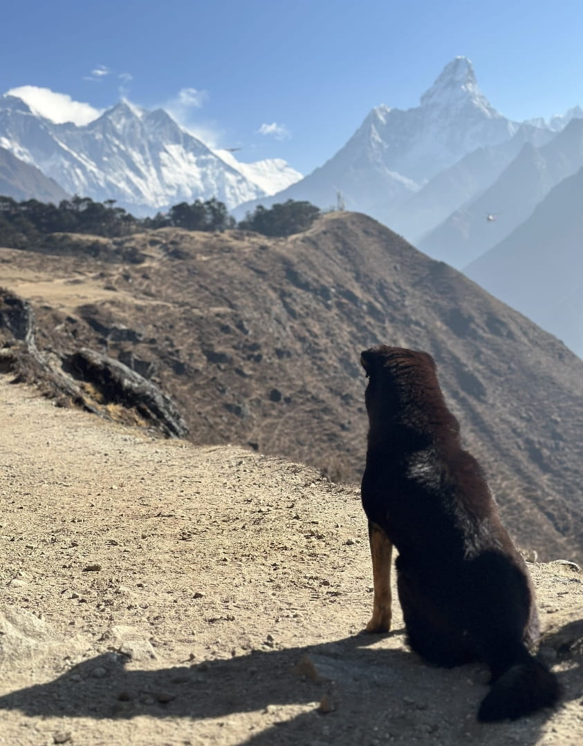
Himalayan doggies
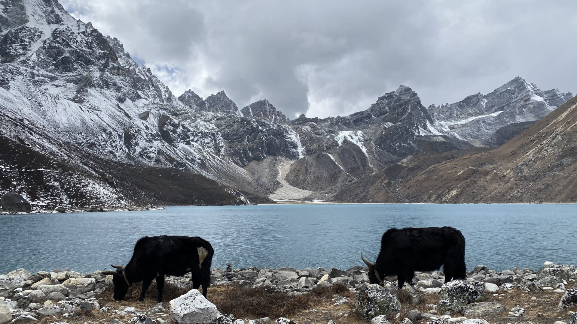
Gokyo Cho with roaming Yaks
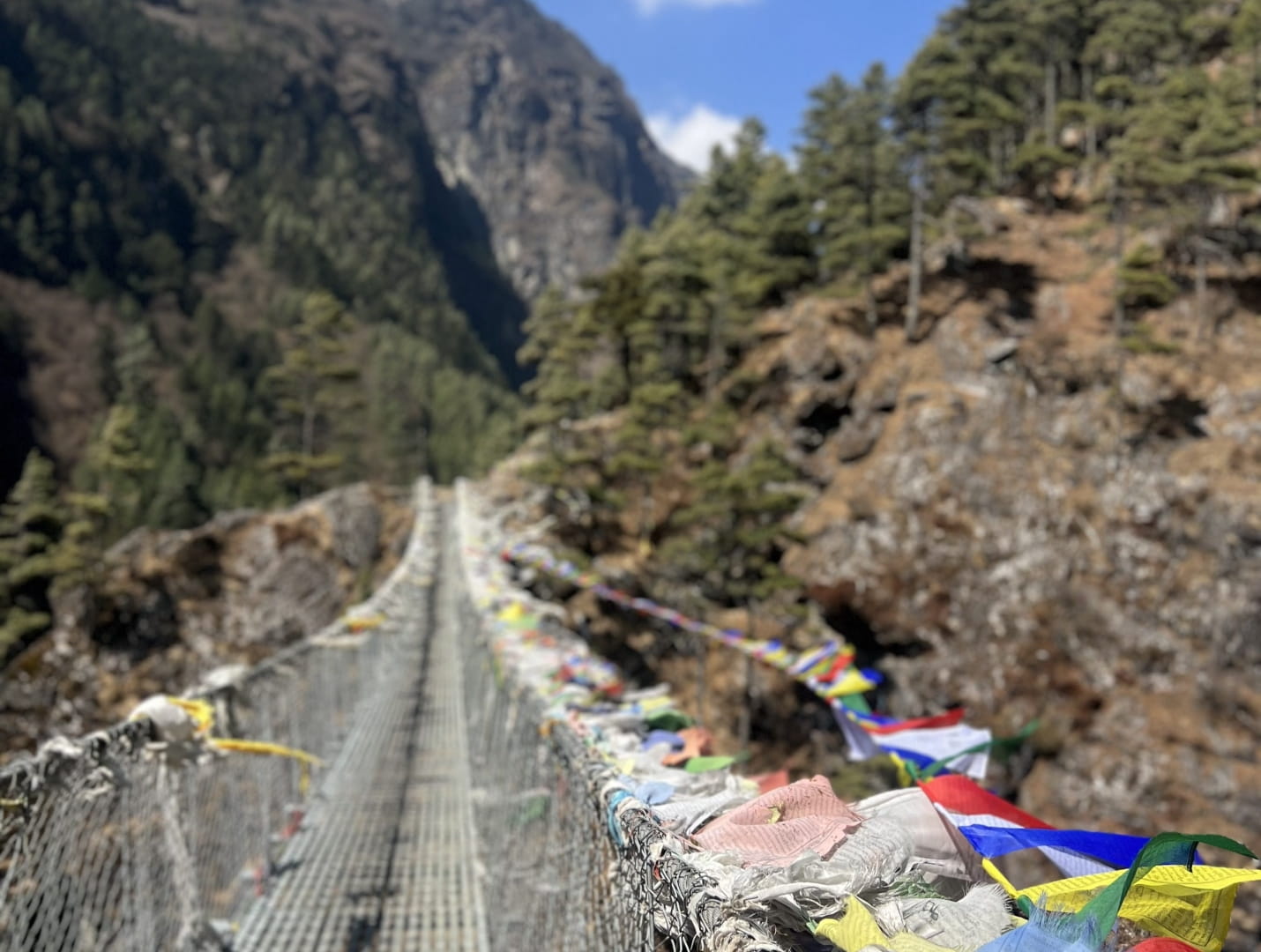
Hillary Bridge
Makalu-Barun
To the east of Khumbu lies Makalu Barun National Park, a pristine sanctuary that is home to Makalu, the fifth highest peak on Earth, standing at an impressive 8,485 meters.
On the Sherpani Glacier
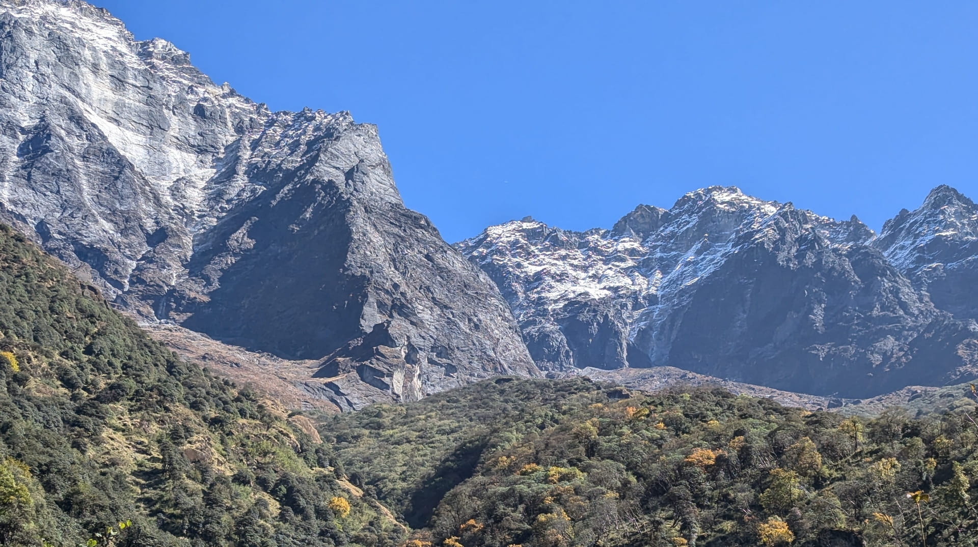
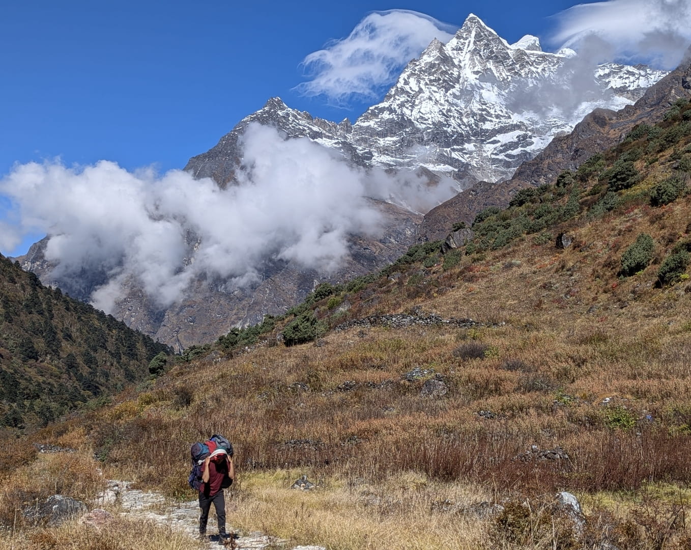
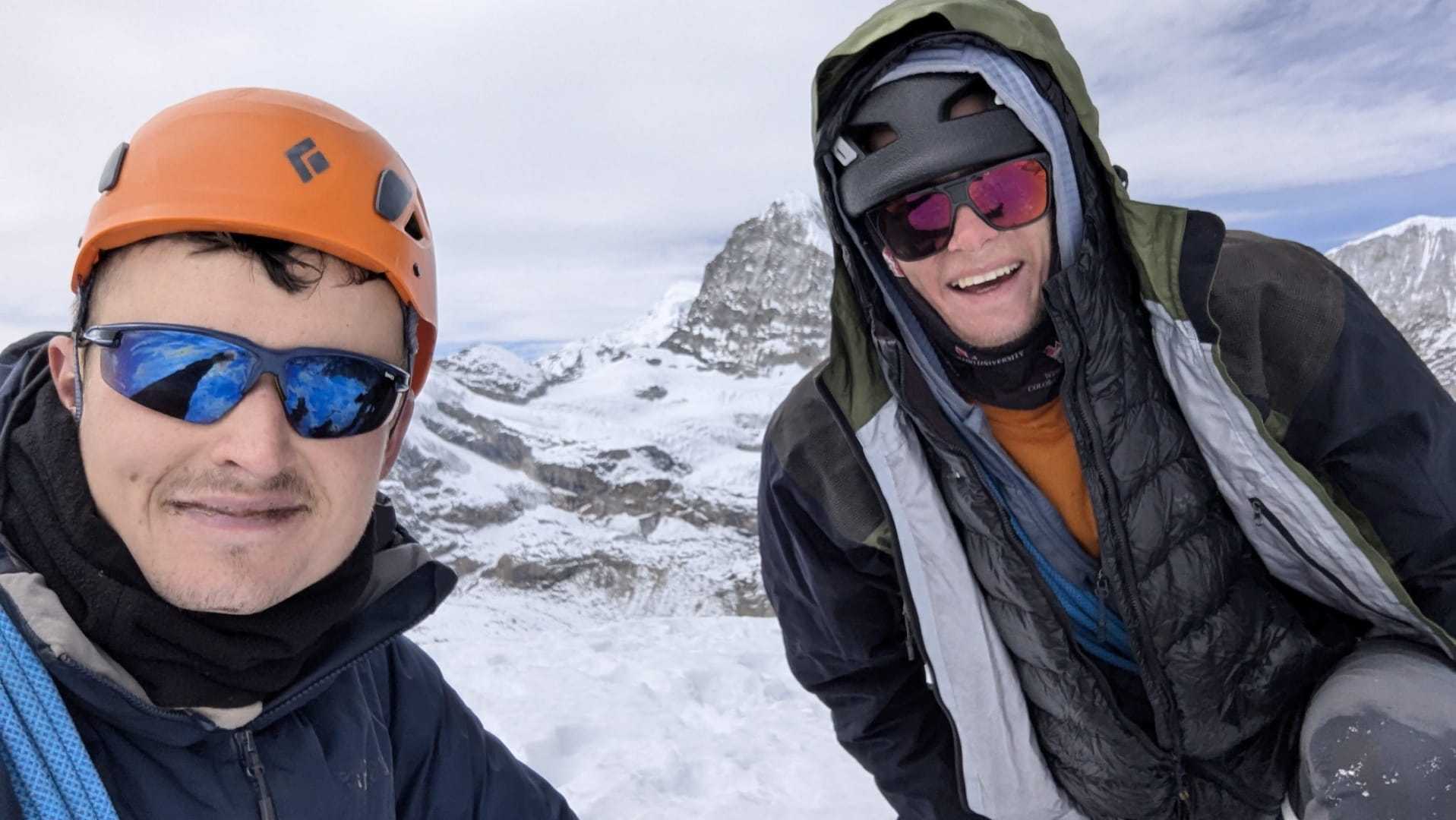
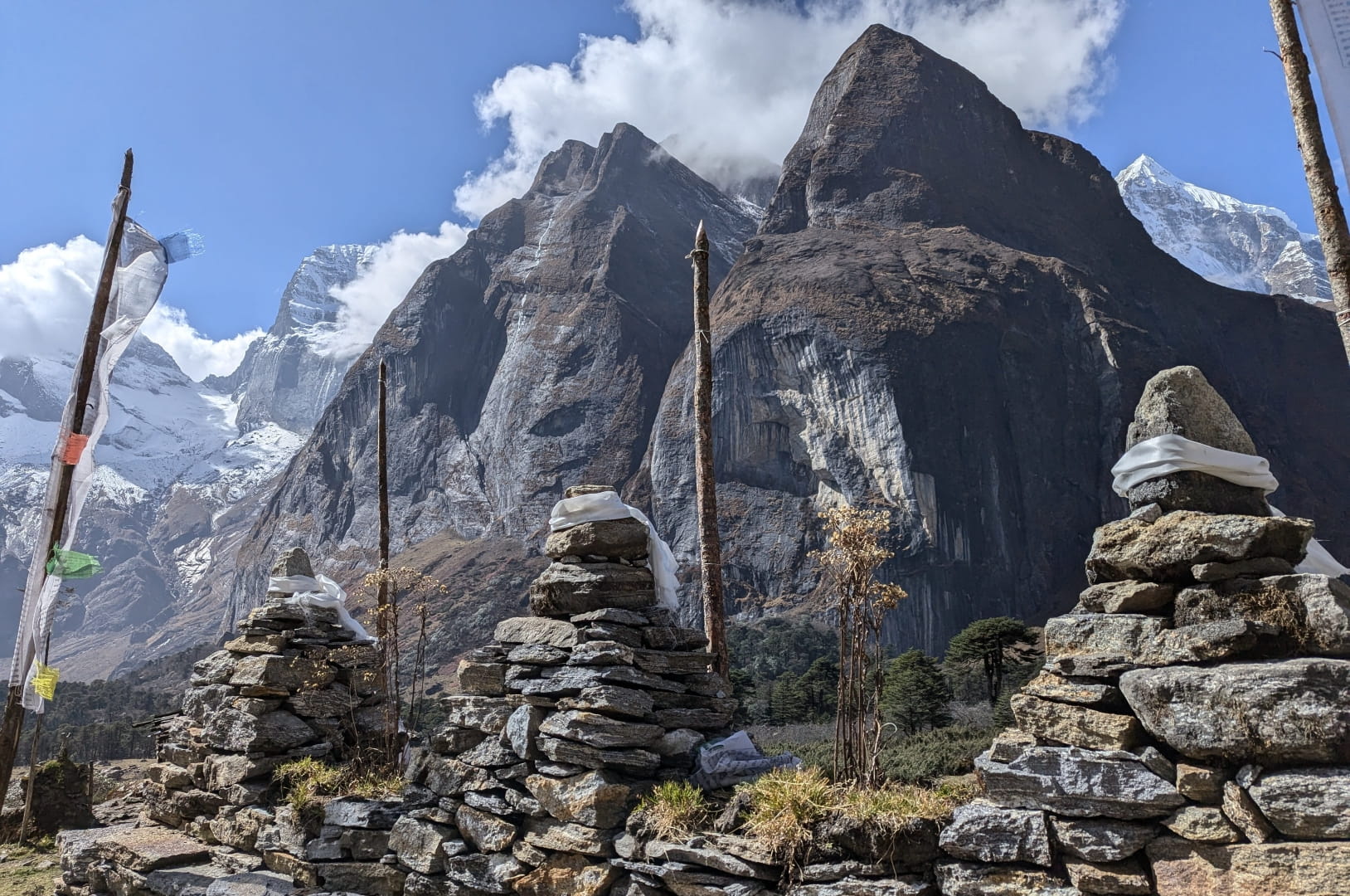
Mountains near Lukla

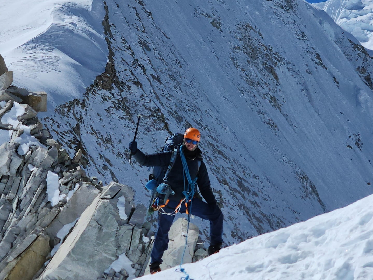
Sherpani West Col Summit
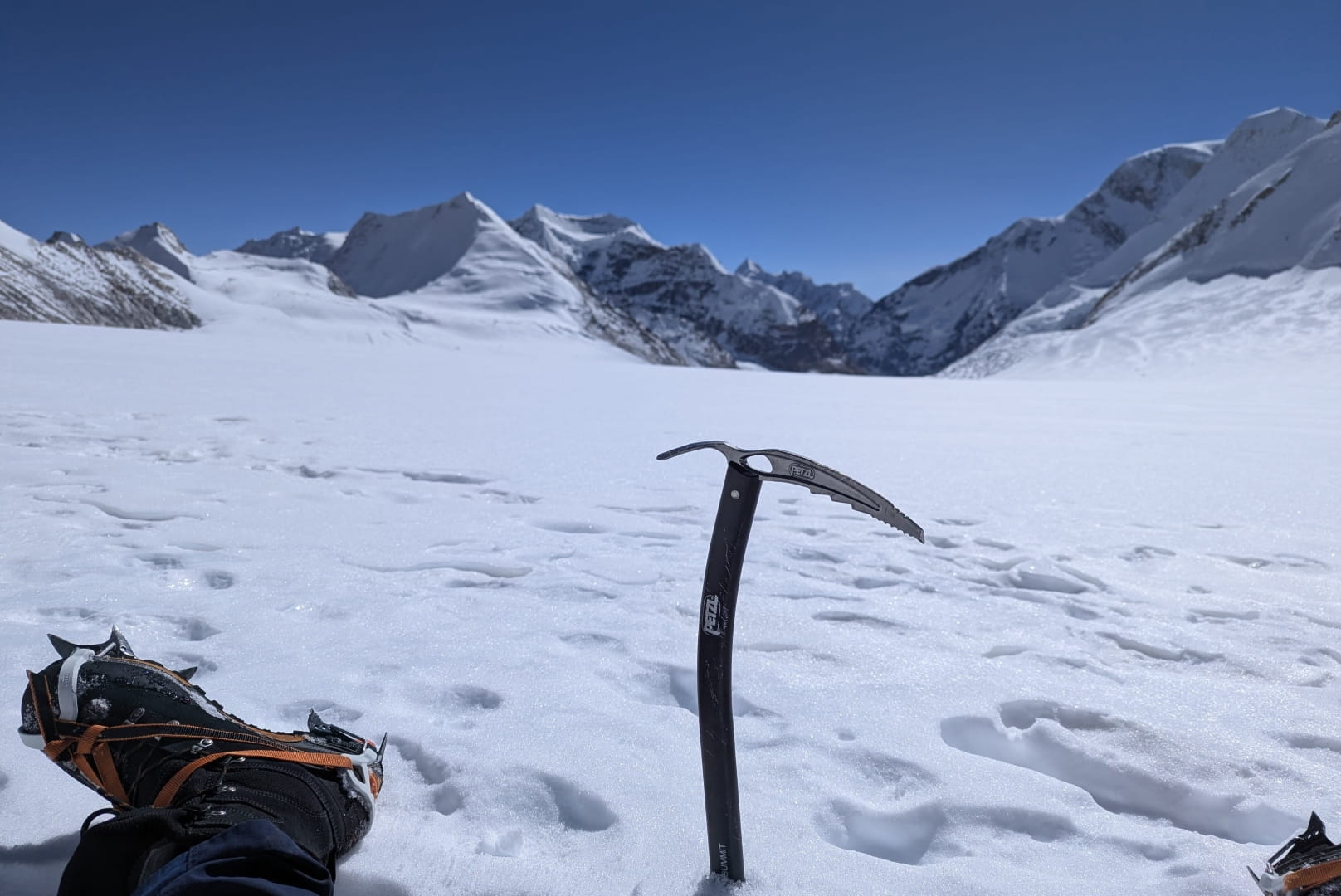
On Sherpani Glacier
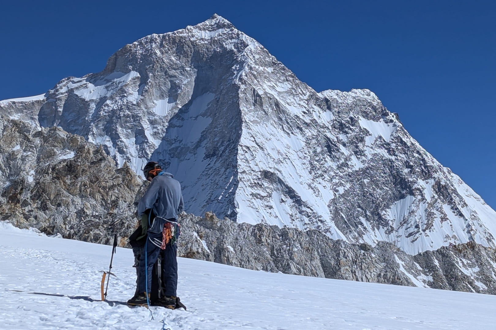
Mount Baruntse
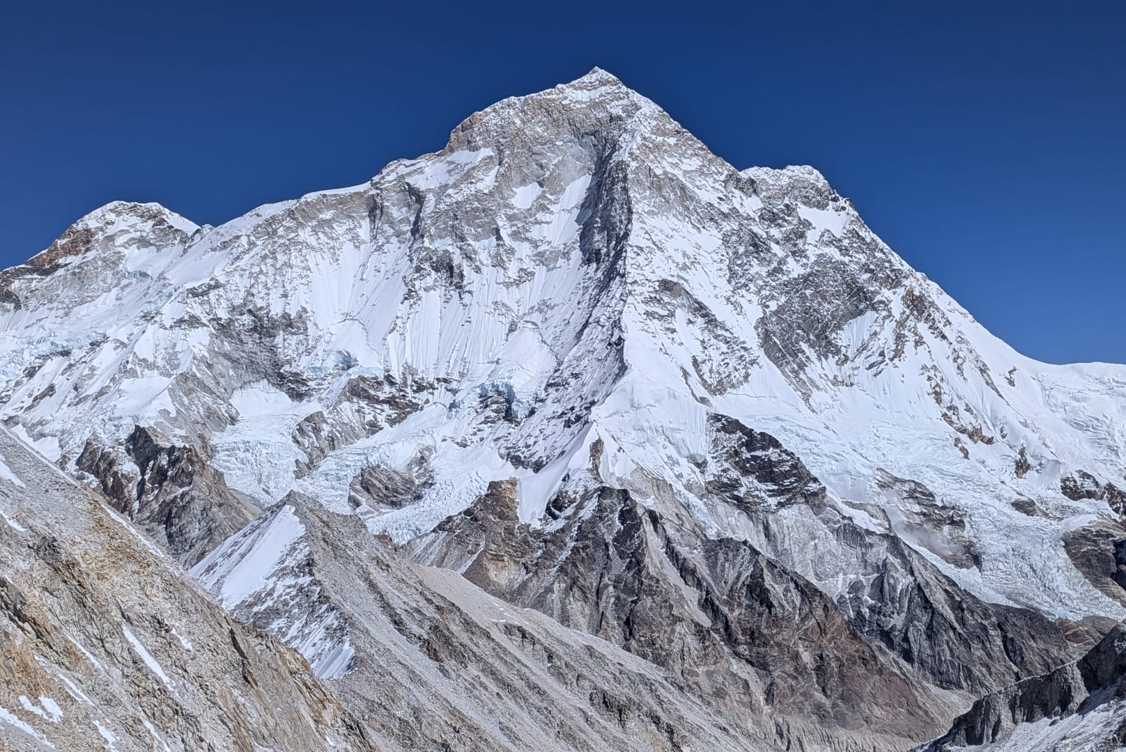
Mount Makalu
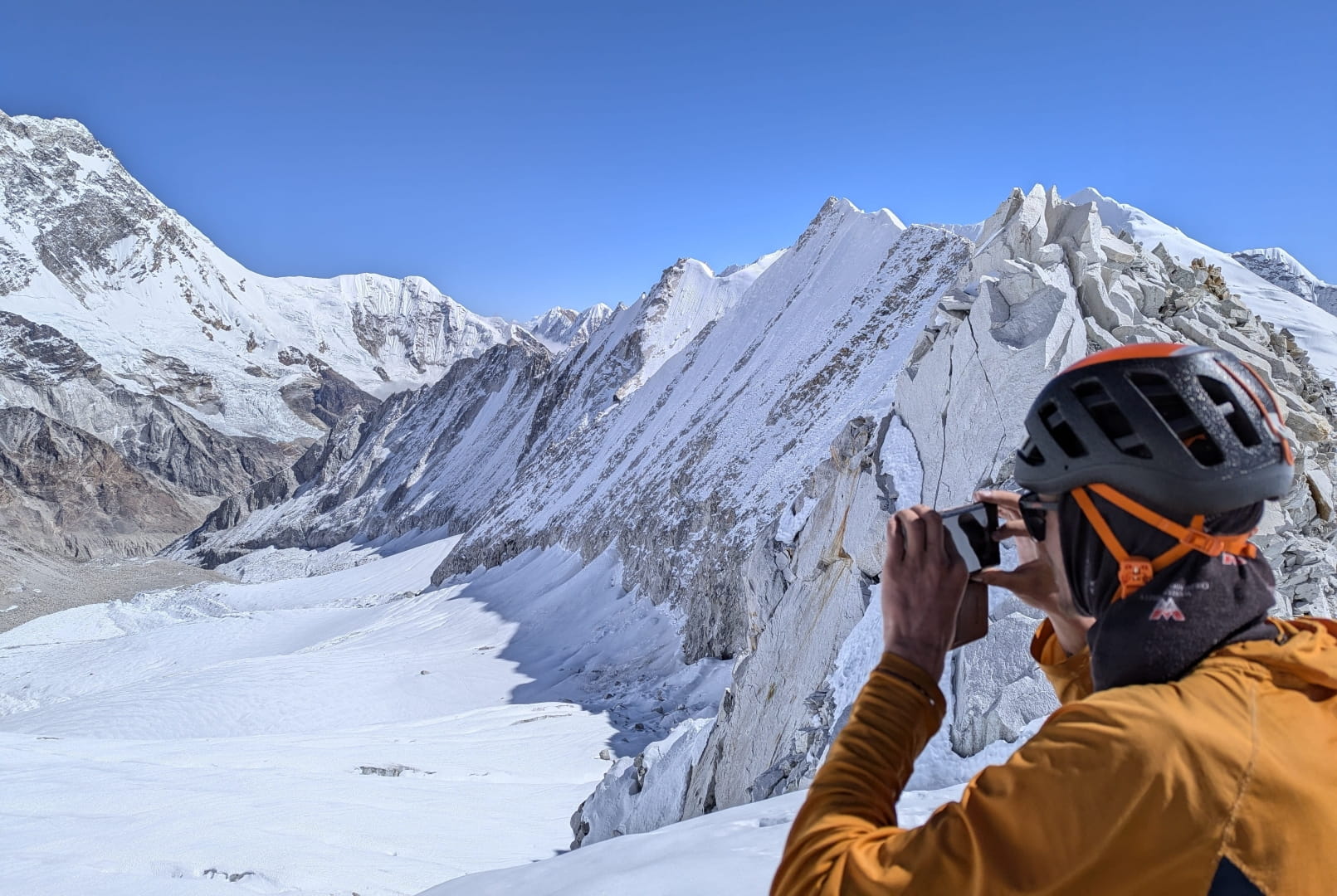
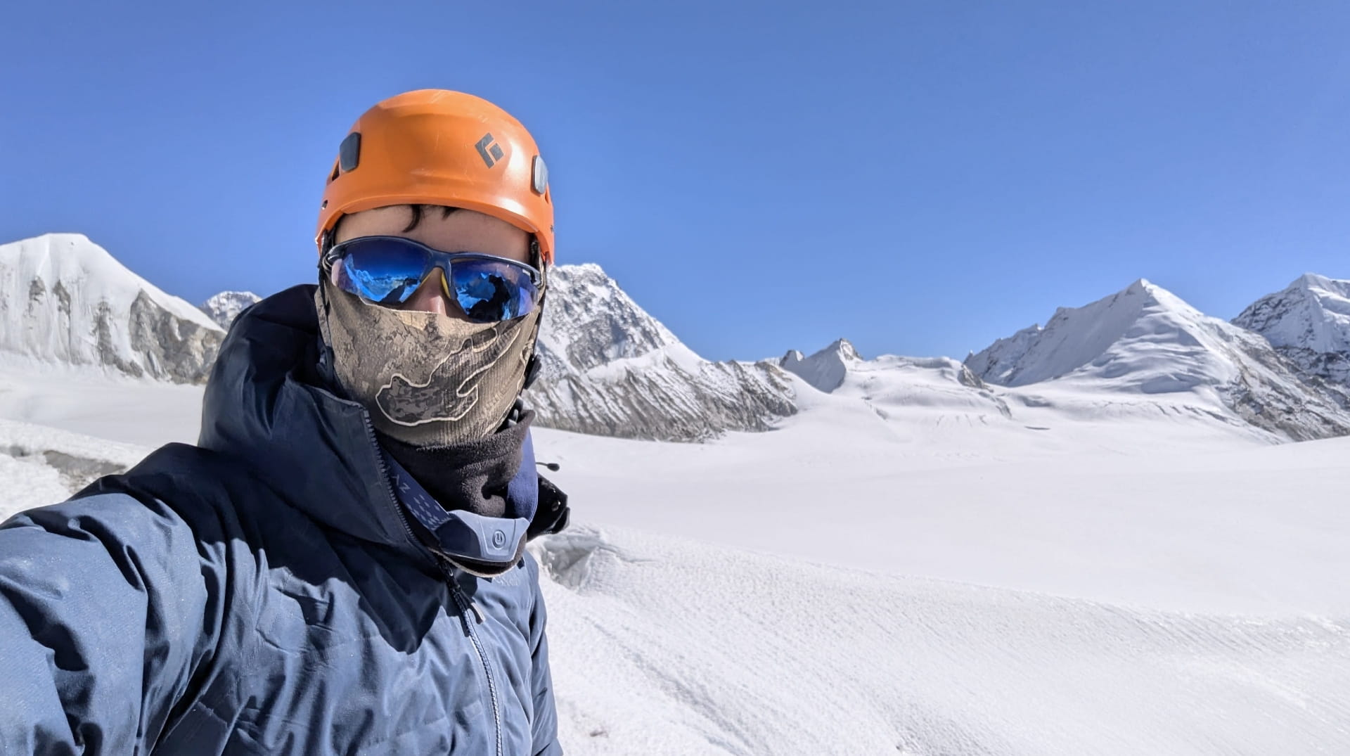
Views from the summit of East Sherpani Col
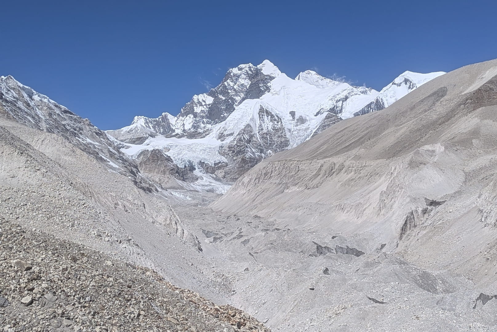
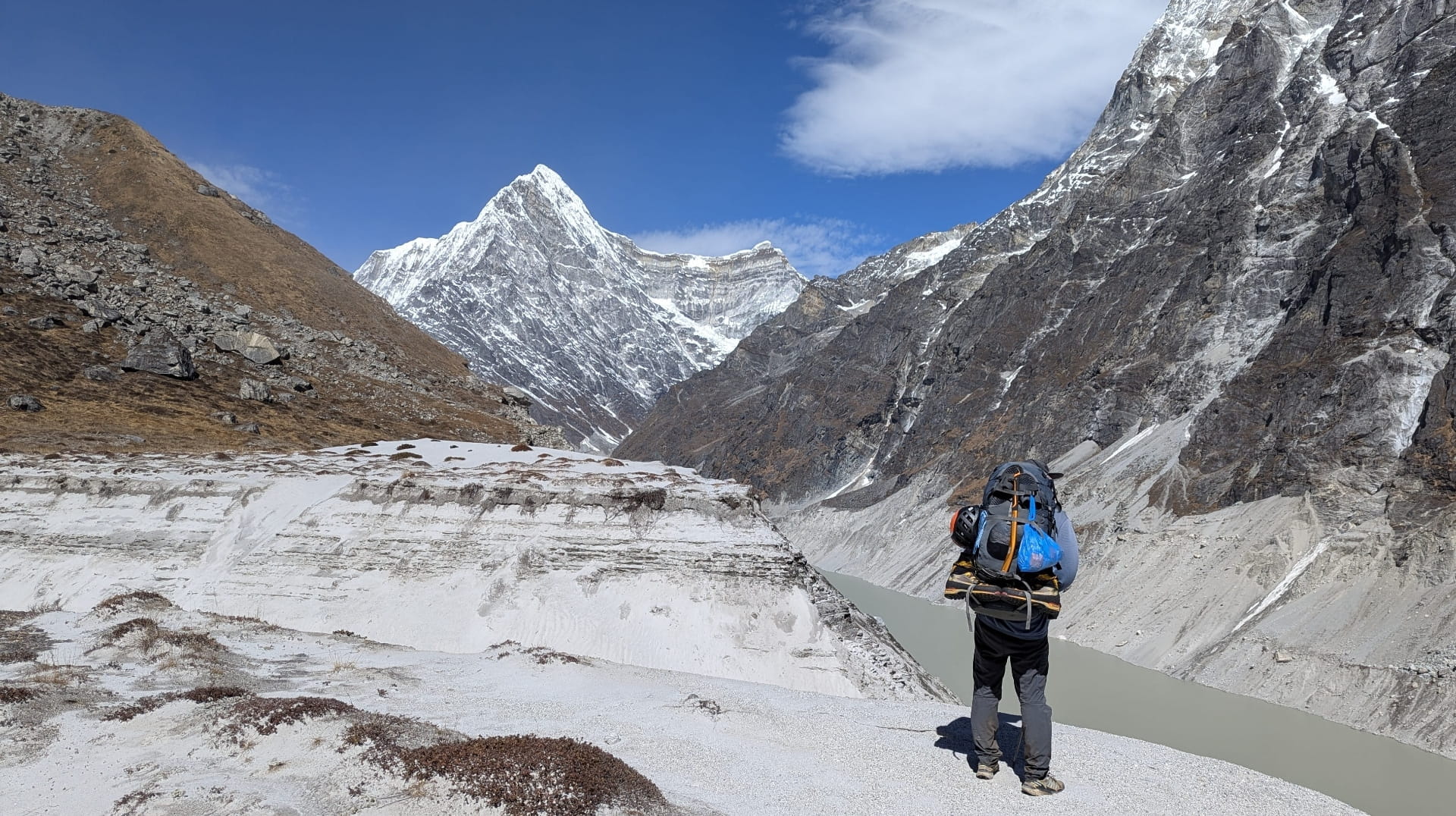
Moraine covered descent to Makalu Base Camp
The Barun Valley
Barun Valley
Prayer flags atop Dzongla Pass
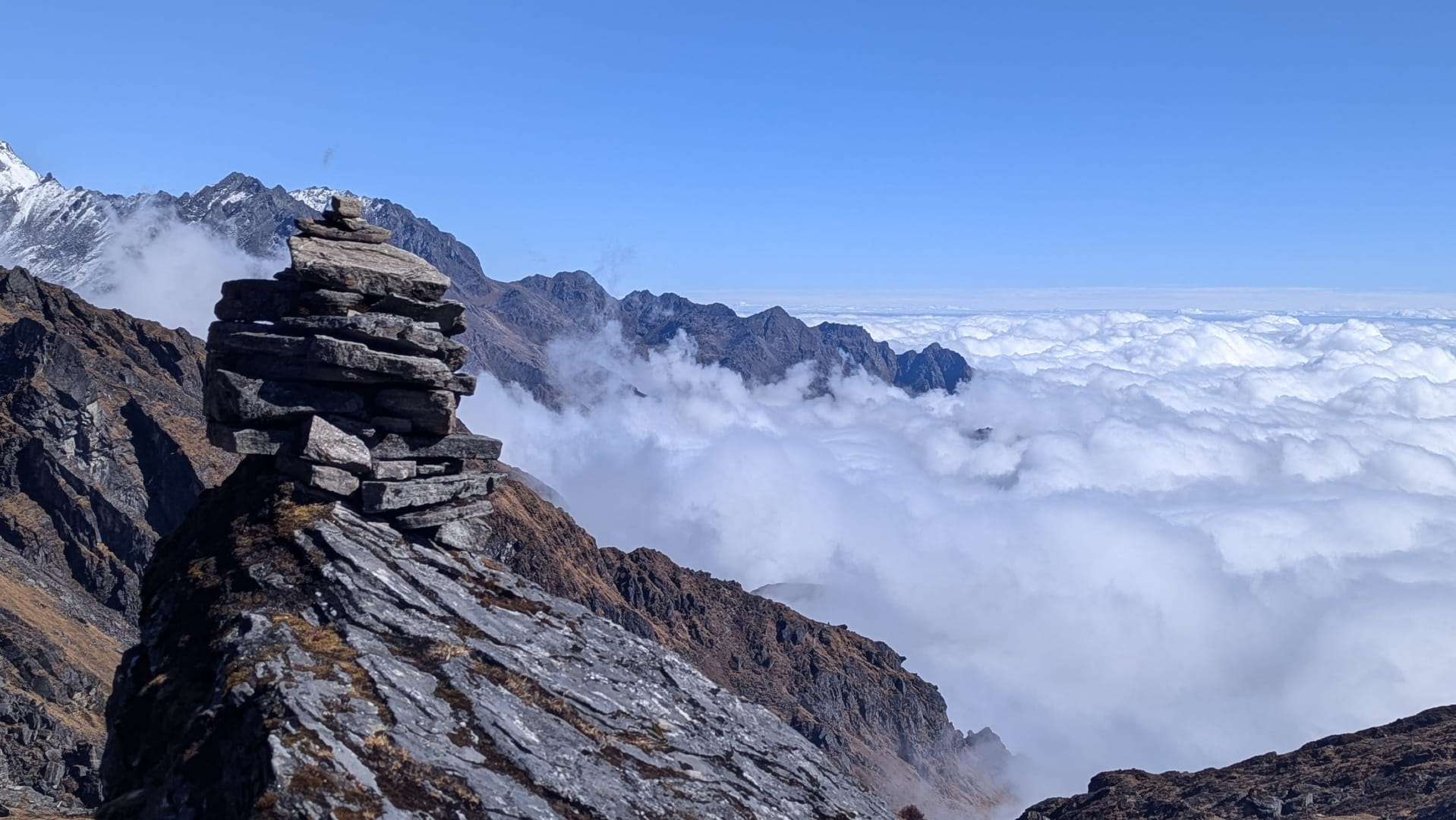
Dzongla Pass
View of Khumbu from East Side
On route to Mera La Pass
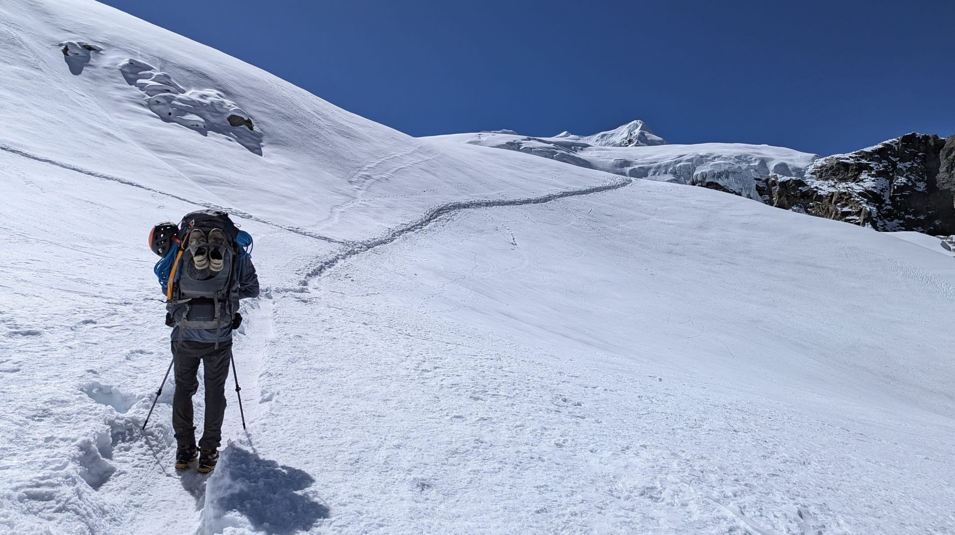
Snow slopes approaching Mera La Pass
Views atop Mera La Pass
Sherpani West Col Base Camp
Panorama from West Col